
- elevation 600 ft (183 m) Country United States of America | ||
 | ||
Similar | ||
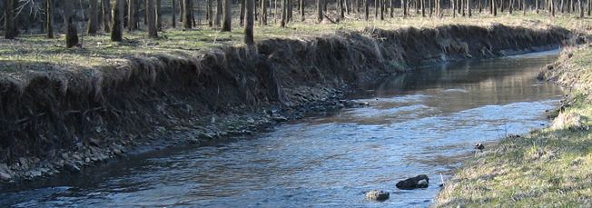
Catfish Creek is a 21.2-mile-long (34.1 km) tributary of the upper Mississippi River in northeastern Iowa. It rises southwest of Dubuque, just southeast of Peosta. The Middle Fork rises west of Dubuque and flows under and then parallel to U.S. Route 20; the former Illinois Central Railroad, now the Chicago Central and Pacific Railroad has its mainline in it. The remaining forks of the creek are all south of U.S. Route 52. Swiss Valley Park, maintained by Dubuque County, is along the main fork of the creek, which is a designated trout stream through the park. In recent years, people have been trying to stop the erosion in this relatively flat way out of the Gorge of the Upper Mississippi. The North Fork of the creek has been proposed for a trail/park.