
Country Philippines District 3rd district Time zone PST (UTC+8) Area 191.6 km² Province Masbate Dialling code 56 | Region Bicol (Region V) Barangays Zip Code 5405 Population 49,078 (2010) Area code 56 | |
 | ||
Neighborhoods Mintac, Malobago, Aguada, Santo Niño, Concepcion | ||
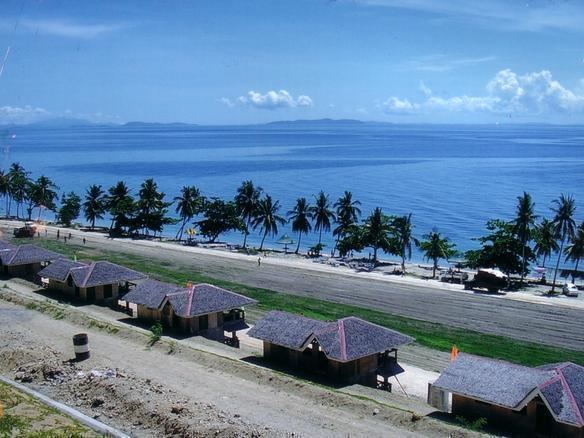
San isidro cataingan masbate
Cataingan is a second class municipality in the province of Masbate, Philippines, about 77 kilometres (48 mi) southeast of Masbate City. According to the 2010 census, it has a population of 49,078 people. Cataingan is one of the municipalities and cities of Masbate where Masbateño is the indigenous language.
Contents
- San isidro cataingan masbate
- Map of Cataingan Masbate Philippines
- Cataingan got a star 2013 cataingan masbate
- Barangays
- References
Map of Cataingan, Masbate, Philippines
In 1948, Placer, then a barrio of this town, was separated as a town by virtue of Republic Act No. 292, passed June 16, 1948. Three years later, in 1951, the barrios of Limbuhan, Guindawahan, Palho, Casabangan, Salvacion, Alegria, Tanke, Bundukan, Bugtong, and Cabangrayan were separated from Cataingan and created into the town of Limbuhan.
Cataingan got a star 2013 cataingan masbate
Barangays
Cataingan is politically subdivided into 36 barangays.
References
Cataingan, Masbate Wikipedia(Text) CC BY-SA