River mouth 220 ft (67 m) | ||
 | ||
Progression | ||
Cat Tail Brook is a tributary of Rock Brook in central New Jersey in the United States.
Contents
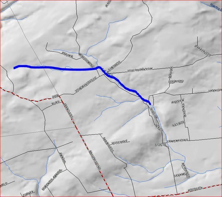
Map of Cat Tail Brook, Montgomery, NJ, USA
Course
Cat Tail Brook originates in Sourland Mountain at 40°26′26″N 74°46′2″W. It flows southeast until it meets Rock Brook at the edge of Sourland Mountain at 40°25′55″N 74°43′44″W.
References
Cat Tail Brook Wikipedia(Text) CC BY-SA
