
Elevation 12,406 ft (3,781 m) | Prominence 481 ft (147 m) Topo map USGS Castle Mountain | |
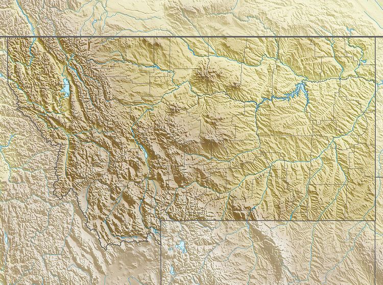 | ||
Location Carbon County, Montana, U.S. | ||
Castle Rock Mountain (12,406 feet (3,781 m)) is in the Beartooth Mountains in the U.S. state of Montana. The peak is one of the tallest in the Beatooth Mountains, the tenth-tallest in Montana and is in the Absaroka-Beartooth Wilderness, on the border of Custer and Gallatin national forests. The nearest taller mountain to Castle Rock Mountain is Castle Rock Spire, 0.65 mi (1.05 km) east. Castle Rock Mountain is flanked by the Sundance Glacier to the north and the Castle Rock Glacier to the south.
References
Castle Rock Mountain Wikipedia(Text) CC BY-SA