
Population 509 (2005) Sovereign state United Kingdom Local time Monday 8:48 AM | OS grid reference SJ163055 Country Wales Postcode district SY21 Dialling code 01938 | |
 | ||
Weather 3°C, Wind SW at 6 km/h, 89% Humidity | ||
Accessible powys falconry at castle caereinion
Castle Caereinion (Welsh: Castell Caereinion) is a small village in Powys, Wales upon the River Banwy (also known as the River Einion), around 8 miles west of Welshpool, and 4 miles east of Llanfair Caereinion.
Contents
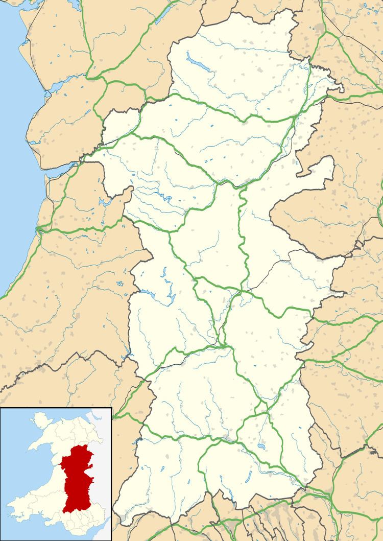
Map of Castle Caereinion, Welshpool, UK
In 2011 the ward had a population of 509. Castle Caereinion railway station is on the Welshpool and Llanfair Light Railway.
The village is named after an ancient castle. The castle was built in 1156 by Madog ap Maredudd. Madog's nephew Owain Cyfeiliog swore allegiance to the English, Owain Gwynedd took the castle from him and destroyed it in about 1167. It has been suggested that a mound in the churchyard of St Garmon's is the remains of the earthwork castle. This mound is known as Twmpath Garmon, so it could be a preaching mound (as in Llanfechain). The most recent view is that the mound does not appear motte-like and a survey in 2002 failed to find a surrounding ditch.
The church of St Garmon was completely rebuilt in 1866 with additions in 1874. Its predecessor was 15th century. Some of the fittings from the earlier church survive, mostly from the 18th century. St Garmon’s was not an important ecclesiastical centre, being classed as a chapel in 1254.
Tŷ Mawr, a Grade I timber framed house, is in Trefnant within the parish of Castle Caereinion.