
Elevation 76 m (249 ft) Time zone CET (UTC+1) Local time Monday 8:32 AM Dialling code 059 | Demonym(s) Castelnovesi Area 22.61 km² Postal code 41051 | |
 | ||
Frazioni Montale, Cavidole, San Lorenzo Weather 11°C, Wind W at 11 km/h, 63% Humidity | ||
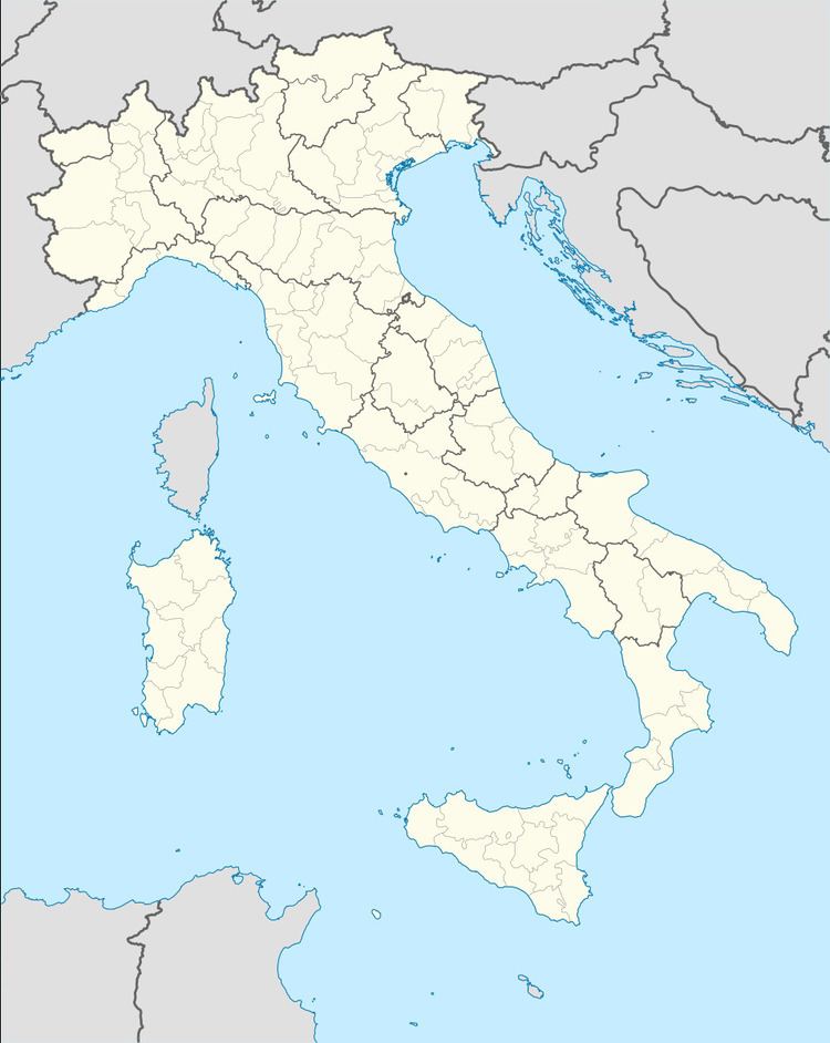
Castelnuovo Rangone is a comune (municipality) in the Province of Modena in the Italian region Emilia-Romagna, located about 40 kilometres (25 mi) west of Bologna and about 13 kilometres (8 mi) south of Modena. The most important economical activity is the production and treatment of pig meat.
Contents
Map of 41051 Castelnuovo Rangone Province of Modena, Italy
The municipality of Castelnuovo Rangone contains the frazioni (subdivisions, mainly villages and hamlets) Montale, Cavidole, Settecani and San Lorenzo. Castelnuovo Rangone borders the following municipalities: Castelvetro di Modena, Formigine, Modena, Spilamberto.
References
Castelnuovo Rangone Wikipedia(Text) CC BY-SA