Country Italy Elevation 351 m (1,152 ft) Time zone CET (UTC+1) Local time Monday 8:31 AM Postal code 53019 Dialling code 0577 | Province / Metropolitan city Siena (SI) Demonym(s) Castelnovini Area 177 km² Province Province of Siena Region Tuscany | |
 | ||
Frazioni Montaperti, Pianella, Ponte a Bozzone, Quercegrossa, San Gusmè, Vagliagli Weather 11°C, Wind W at 14 km/h, 76% Humidity | ||
Castelnuovo Berardenga is a comune (municipality) in the Province of Siena in the Italian region Tuscany, located about 50 kilometres (31 mi) southeast of Florence and about 14 kilometres (9 mi) east of Siena. Since 1932 it is included in the Chianti wine-production area.
Contents
- Map of 53019 Castelnuovo Berardenga Province of Siena Italy
- Villages and hamlets
- Villas
- Churches
- References
Map of 53019 Castelnuovo Berardenga Province of Siena, Italy
The famous Battle of Montaperti between Guelphs and Ghibellines was fought nearby on 4 September 1260.
The territory of Castelnuovo Berardenga borders that of the comuni of Asciano, Bucine, Castellina in Chianti, Gaiole in Chianti, Monteriggioni, Radda in Chianti, Rapolano Terme and Siena.
Villages and hamlets
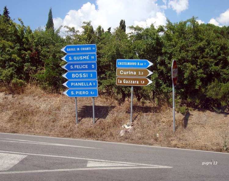
The comune of Castelnuovo Berardenga includes the villages of Casetta, Montaperti, Pianella, Ponte a Bozzone, Quercegrossa (birthplace of Jacopo della Quercia), San Gusmè, Vagliagli and San Giovanni a Cerreto; and the hamlets or smaller villages of Abbazia Monastero, Barca, Bivio Santo Stefano, Bossi, Campi, Castell'In Villa, Catignano, Chieci, Cignano, Colonna del Grillo, Corsignano, Curina, Geggiano, Guistrigona, La Ripa, Monaciano, Monastero d'Ombrone, Pacina, Petroio, Pievasciata, Poggiarello - La Ripa, Pontignanello, Pontignano, Rosennano, San Felice, San Giovanni, San Piero, San Vito, Santa Chiara, Santa Margherita - La Suvera, Santa Maria a Dofana, Sestano, Stellino, Villa a Sesta, Villa d'Arceno and Vitignano.
