
Elevation 815 m (2,674 ft) Area 64.8 km² Postal code 58034 | Demonym(s) Castellazzaresi Local time Monday 7:44 AM | |
 | ||
Weather 8°C, Wind W at 24 km/h, 72% Humidity | ||
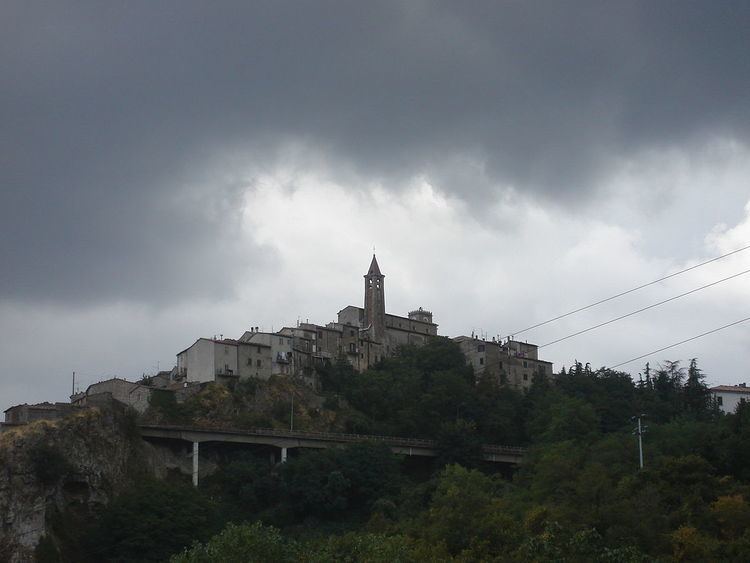
Castell'Azzara is a comune (municipality) in the Province of Grosseto in the Italian region Tuscany, located about 120 kilometres (75 mi) southeast of Florence and about 50 kilometres (31 mi) east of Grosseto.
Contents
Map of 58034 Castell'azzara Province of Grosseto, Italy
It occupies the slopes of the Monte Amiata and was once important for the extraction of cinnabar. It was first under the Aldobrandeschi, and then part of the Sforza County of Santa Fiora until 1624.
Main sights
Nearby, in the frazione of Selvena, are the ruins of Rocca Silvana, a fortress of the Aldobrandeschi.
References
Castell'Azzara Wikipedia(Text) CC BY-SA