Kalpana Kalpana (Editor)

Castel Bolognese

Updated on
Edit
Like
Comment
Share on FacebookTweet on TwitterShare on LinkedInShare on Reddit
Country
  
Italy

Elevation
  
32 m (105 ft)

Time zone
  
CET (UTC+1)

Local time
  
Monday 7:21 AM

Postal code
  
48014

Dialling code
  
0546

Province / Metropolitan city
  
Ravenna (RA)

Demonym(s)
  
Castellani

Area
  
32.3 km²

Province
  
Province of Ravenna

Region
  
Emilia-Romagna

Castel Bolognese

Frazioni
  
Biancanigo, Borello, Campiano, Casalecchio, Pace, Serra

Weather
  
9°C, Wind SW at 11 km/h, 75% Humidity

Castel Bolognese is a comune (municipality) in the Province of Ravenna in the Italian region Emilia-Romagna, located about 40 kilometres (25 mi) southeast of Bologna and about 35 kilometres (22 mi) southwest of Ravenna. As of 2006, it has a population of about 9,000 inhabitants.

Contents

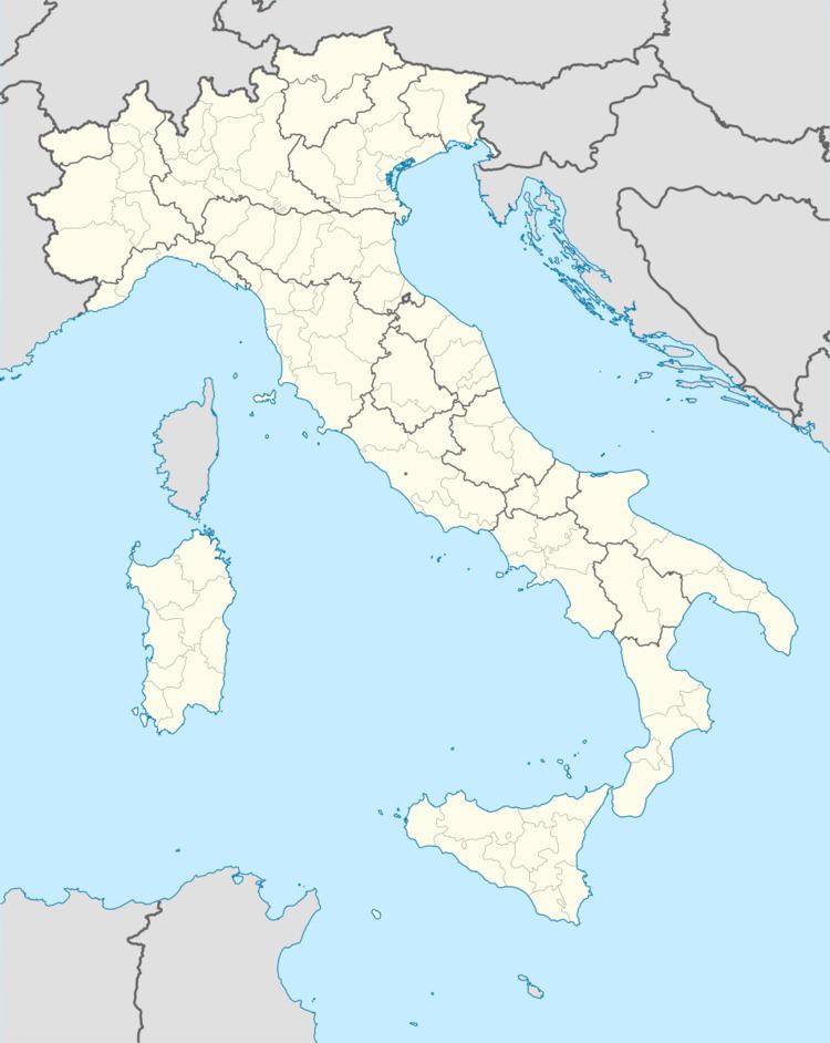
Map of 48014 Castel Bolognese, Province of Ravenna, Italy

Castel Bolognese borders the following municipalities: Faenza, Imola, Riolo Terme, Solarolo.

Main sights

  • The Castle, built from 1389. It was destroyed in 1501 by Cesare Borgia, together with the walls. The latter were rebuilt by the Papal forces in 1504. Of the castle, today parts of the walls and a tower survive.
  • Civic Museum
  • Church of San Sebastiano (1506).
  • Church of San Francesco (18th century), including a statue attributed to Jacopo della Quercia, a 15th-century wooden crucifix and paintings by G. B. Bertucci and Ferraù Fenzoni.
  • Church of San Pietro Apostolo
  • Church of San Petronio
  • Church of Santa Maria della Pace
  • Twin towns

  • Abtsgmünd, Germany
  • References

    Castel Bolognese Wikipedia