
GNIS feature ID 2611427 Area 5.44 km² Local time Sunday 8:23 PM Area code 530 | Time zone Pacific (PST) (UTC-8) Elevation 968 m Zip code 96016 Population 207 (2010) | |
 | ||
Weather 0°C, Wind SW at 11 km/h, 66% Humidity | ||
Unisun solar 800 950 0556 cassel california
Cassel is a census-designated place (CDP) in Shasta County, California. Cassel sits at an elevation of 3,176 feet (968 m). The 2010 United States census reported Cassel's population was 207. The ZIP Code is 96016. The community is inside area code 530.
Contents
- Unisun solar 800 950 0556 cassel california
- Map of Cassel CA 96016 USA
- Geography
- Climate
- Demographics
- Politics
- References
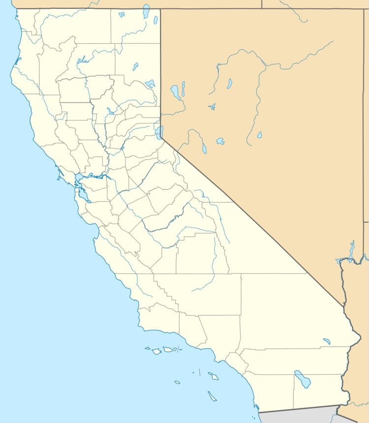
Map of Cassel, CA 96016, USA
Geography
According to the United States Census Bureau, the CDP covers an area of 2.1 square miles (5.4 km²), 96.44% of it land and 3.56% of it water.
Climate
This region experiences warm (but not hot) and dry summers, with no average monthly temperatures above 71.6 °F. According to the Köppen Climate Classification system, Cassel has a warm-summer Mediterranean climate, abbreviated "Csb" on climate maps.
Demographics
The 2010 United States Census reported that Cassel had a population of 207. The population density was 98.6 people per square mile (38.1/km²). The racial makeup of Cassel was 194 (93.7%) White, 0 (0.0%) African American, 3 (1.4%) Native American, 0 (0.0%) Asian, 0 (0.0%) Pacific Islander, 4 (1.9%) from other races, and 6 (2.9%) from two or more races. Hispanic or Latino of any race were 6 persons (2.9%).
The Census reported that 207 people (100% of the population) lived in households, 0 (0%) lived in non-institutionalized group quarters, and 0 (0%) were institutionalized.
There were 93 households, out of which 17 (18.3%) had children under the age of 18 living in them, 65 (69.9%) were opposite-sex married couples living together, 2 (2.2%) had a female householder with no husband present, 3 (3.2%) had a male householder with no wife present. There were 2 (2.2%) unmarried opposite-sex partnerships, and 2 (2.2%) same-sex married couples or partnerships. 18 households (19.4%) were made up of individuals and 9 (9.7%) had someone living alone who was 65 years of age or older. The average household size was 2.23. There were 70 families (75.3% of all households); the average family size was 2.54.
The population was spread out with 32 people (15.5%) under the age of 18, 7 people (3.4%) aged 18 to 24, 29 people (14.0%) aged 25 to 44, 78 people (37.7%) aged 45 to 64, and 61 people (29.5%) who were 65 years of age or older. The median age was 57.7 years. For every 100 females there were 105.0 males. For every 100 females age 18 and over, there were 94.4 males.
There were 140 housing units at an average density of 66.7 per square mile (25.7/km²), of which 81 (87.1%) were owner-occupied, and 12 (12.9%) were occupied by renters. The homeowner vacancy rate was 5.7%; the rental vacancy rate was 20.0%. 173 people (83.6% of the population) lived in owner-occupied housing units and 34 people (16.4%) lived in rental housing units.
Politics
In the state legislature Cassel is in the 1st Senate District, represented by Republican Ted Gaines, and the 1st Assembly District, represented by Republican Brian Dahle. Federally, Cassel is in California's 1st congressional district, represented by Republican Doug LaMalfa.