
Canton Ourville-en-Caux Local time Sunday 11:13 PM | Region Normandy Area 5.34 km² | |
 | ||
Intercommunality Plateau de Caux-Fleur de Lin Weather 7°C, Wind W at 37 km/h, 88% Humidity | ||
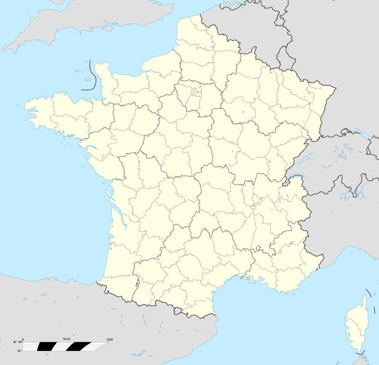
Carville-Pot-de-Fer is a commune in the Seine-Maritime department in the Haute-Normandie region in northern France.
Contents
Map of 76560 Carville-Pot-de-Fer, France
Geography
A small farming village situated in the Pays de Caux, some 29 miles (47 km) northeast of Le Havre, near the junction of the D106 and D149 roads.
Places of interest
References
Carville-Pot-de-Fer Wikipedia(Text) CC BY-SA