Area 17.53 km² | Phone +1 910-436-4681 | |
 | ||
Hours Closing soon · 8AM–6PMSunday8AM–6PMMonday8AM–6PMTuesday8AM–6PMWednesday8AM–6PMThursday8AM–6PMFriday8AM–6PMSaturday8AM–6PM Similar Singletary Lake State Park, Cliffs of the Neuse State Park, Haw River State Park, Mayo River State Park, Weymouth Woods‑Sandhills Nature Pr | ||
Carvers creek state park nc weekend unc tv
Carvers Creek State Park is a North Carolina state park in Cumberland County, North Carolina in the United States. Located north of Fayetteville, it covers 4,332 acres (17.53 km2) in the Sandhills region of the state. The park covers lands around Carvers Creek, a tributary of the Cape Fear River, and it borders Fort Bragg. The park is currently divided into two areas, Long Valley Farm and the Sandhills Property. The park is still being planned, and the state is planning to acquire more land for the park.
Contents
On September 9, 2013, interim park facilities were opened to the public at the Long Valley Farm Access. The initial park facilities include a ranger contact station, a picnic area, lake fishing access, and two hiking trails.
TrailsEdit
The 0.5-mile (0.80 km) James S. Rockefeller Trail is park's main trail; it provides access to the Rockefeller House from the park's office and picnic area.
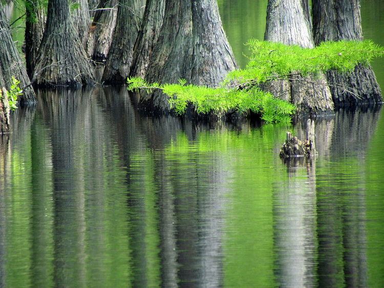
The 0.75-mile (1.21 km) Cypress Point Loop Trail begins at the end of the Rockefeller Trail, and it loops around the southern shore of the millpond.
