
Country Brazil State Maranhão Time zone UTC-3 (UTC-3) Area 1,256 km² Population 20,905 (2008) | Region Northeast Founded June 3, 1935 HDI (2000) 0.571 – medium Local time Sunday 6:58 PM | |
 | ||
Weather 27°C, Wind NE at 10 km/h, 82% Humidity | ||
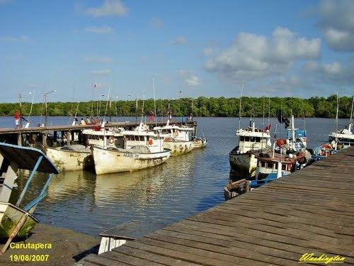
Carutapera is the northernmost city in the Brazilian state of Maranhão.
Map of Carutapera - Maranh%C3%A3o, Brazil
References
Carutapera Wikipedia(Text) CC BY-SA