
COSPAR ID 2008-021A Launch date 28 April 2008 Launch mass 690 kg Apogee 630,000 m | Operator ISRO Mission duration 5 years Rocket PSLV C9 Period 1.6 hours Launch mass 690 kg | |
 | ||
Similar Cartosat‑2B, Cartosat‑2, Cartosat‑1, RISAT‑2, IRS‑P2 | ||
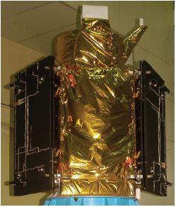
Cartosat-2A is an Earth observation satellite in a sun-synchronous orbit and the third of the Cartosat series of satellites. The satellite is the thirteenth satellite in the Indian Remote Sensing (IRS) satellite series to be built, launched and maintained by the Indian Space Research Organisation. It was launched by the Polar Satellite Launch Vehicle - C9 on April 28, 2008 along with the 87 kg Indian Mini Satellite (IMS-1) and eight nano research satellites belonging to research facilities in Canada, Denmark, Germany, Japan and the Netherlands. This satellite is a Ministry of Defence mission for the Government of India. It is a dedicated satellite for the Indian Armed Forces which is in the process of establishing an Aerospace Command.
The satellite carries a panchromatic (PAN) camera capable of taking black-and-white pictures in the visible region of electromagnetic spectrum. The highly agile Cartosat-2A can be steered up to 45 degrees along as well as across the direction of its movement to facilitate imaging of any area more frequently. The satellite's health is continuously monitored from the Spacecraft Control Centre at Bangalore with the help of ISTRAC network of stations at Bangalore, Lucknow, Mauritius, Bearslake in Russia, Biak in Indonesia and Svalbard in Norway.