
Population 97 (2001) Civil parish Cartington Local time Sunday 9:16 PM | OS grid reference NU035045 Unitary authority Dialling code 01669 Post town Morpeth | |
 | ||
Weather 2°C, Wind N at 2 km/h, 98% Humidity | ||
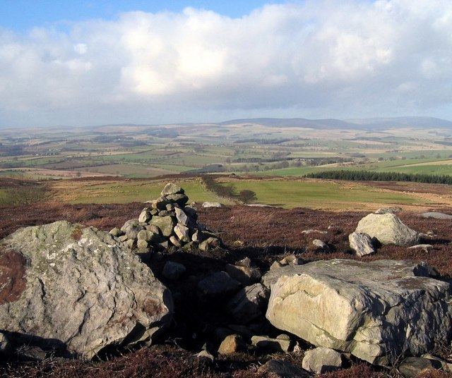
Cartington is a village and civil parish in Northumberland, England. It is about 11 miles (18 km) south west of Alnwick, and about 2 miles (3 km) north west of Rothbury, and has a population of 97. At the 2011 Census the population remained less than 100. Details were included in Callaly parish.
Contents
Map of Cartington, Morpeth, UK
In 2010 the parish became involved in the hunt for Raoul Moat, a 37-year-old man from Newcastle upon Tyne, who was believed to have shot three people, killing one. Police discovered a makeshift camp, including a duvet, tent and sleeping bag, in a secluded area of land at Wagtail Farm, in the south of the parish.
Landmarks
Cartington Castle is a ruinous, partly restored medieval English castle. It is a Scheduled Ancient Monument and a Grade I listed building. Its first recorded owner was Ralph Fitzmain who held it in 1154. In the late 14th century a pele tower was built. In November 1515 Margaret, Queen of Scots, with her baby daughter Margaret stayed here on her journey from Harbottle Castle. Nearly ten years later, Lord Dacre stationed his troops here on a march north to join the Earl of Surrey. The castle continued to be occupied until finally abandoned in the 1860s. In 1887 Lord Armstrong partially restored the castle in order to prevent its complete disintegration.
In the south of the parish is Cragside, a country house maintained by the National Trust, that was the first house in the world to be lit by hydro-electric power.