
Established 1999 | ||
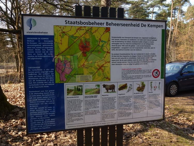 | ||
Location | ||
Cartierheide is a natural landscape area in the south of the Netherlands in province Noord-Brabant located close to the Belgian border in the natural region called The Campine (local name in Dutch: De Kempen). On the other side of the border is Belgium's first national park, Hoge Kempen.
Contents
Map of Cartierheide, Hapert, Netherlands
History
The name is derived from Baron Emile de Cartier Marchiennes who purchased it in 1863, the moor near this location Duizels Hof and used the heath as hunting grounds.
Heide is a Dutch word for heath or heathland which is a shrubland habitat found mainly on low quality acidic soils, and is characterised by open, low growing woody vegetation.
The property was given to the Dutch Society for preservation of nature monuments Natuurmonumenten in 1932 by the son of Baron de Cartier who was also named Emile de Cartier de Marchienne and put under management of Staatsbosbeheer a Dutch organization to control and conserve Dutch nature reserves. There are several touristic sight seeing and walking routes from surrounding villages like Bergeijk, VVV Eersel and protected and maintained by AVN Kempenland