
 | ||
Carthay is a half-square-mile, high-income, ethnically diverse, well-educated, older-aged neighborhood in Central Los Angeles, California. Carthay has one elementary school.
Contents
- Map of Carthay Square Los Angeles CA 90035 USA
- Population
- Description
- Adjacent neighborhoods
- Education
- References
Map of Carthay Square, Los Angeles, CA 90035, USA
Population
The 2000 U.S. census counted 4,866 residents in the half-square-mile neighborhood—amounting to 9,642 people per square mile, about an average population density for the city and the county. In 2008 the city estimated that the population had increased to 5,120. The median age for residents was 37, older than the city's average.
Carthay was said to be "highly diverse" when compared to the city at large. The ethnic breakdown in 2000 was: whites, 57.8%; Latinos, 15.9%; blacks, 12.8%; Asians, 8.5%; and others, 5.1%. Mexico (26.4%) and Korea (8.2%) were the most common places of birth for the 25.1% of the residents who were born abroad, a figure that was considered low for the city as a whole.
The median household income in 2008 dollars was $71,398, considered to be a high figure in Los Angeles. The percentage of households earning $125,000 or more was high, compared to the county at large. The average household size of 2.1 people was low for Los Angeles. Renters occupied 64.7% of the housing units, and home- or apartment owners the rest.
In 2000, there were 168 military veterans, 4.1% of the population, considered a low rate for the county overall, but the percentage of veterans who served during World War II or the Korean conflict was among the county's highest.
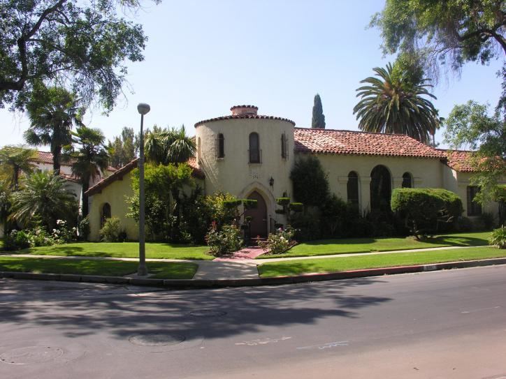
Description
Carthay is flanked by Beverly Grove to the north, Mid-Wilshire to the east, Mid-City to the south, Pico-Robertson to the west and Beverly Hills to the northwest. The neighborhood is bounded on the north by Wilshire Boulevard, on the east by Fairfax Avenue, on the south by Pico Boulevard, on the west by La Cienega Boulevard and on the northwest by Schumacher and Toner drives.
Smaller areas within Carthay are Carthay Circle, Carthay Square and South Carthay.
Adjacent neighborhoods
Relation of Carthay to other communities:
Education
Carthay residents aged 25 and older holding a four-year degree amounted to 53.2% of the population in 2000, a high rate for both the city and the county.
There is one school within Carthay's boundaries—Carthay Center Elementary, a K-6 school at 6351 West Olympic Boulevard. Starting in Fall 2014, Carthay Center Elementary becomes Carthay School of Environmental Studies Magnet, a residential full-school magnet. Spaces are reserved for students in the traditional attendance boundaries, but the school is also open to magnet school applicants from throughout LAUSD. The Environmental Studies program will be building on programs such as the celebrated Garden Science program at the school.