
Named for Landon Carter Website www.cartercountytn.gov Founded 1796 | Area 901.3 km² Population 57,338 (2013) | |
 | ||
Colleges and Universities Points of interest | ||
Carter county tennessee
Carter County is a county located in the U.S. state of Tennessee. As of the 2010 census, the population was 57,424. Its county seat is Elizabethton. The county is named in honor of Landon Carter, an early settler active in the State of Franklin movement.
Contents
- Carter county tennessee
- Map of Carter County TN USA
- History
- Watauga Association
- As Wayne County in the State of Franklin
- Civil War
- Early railroad
- Geography
- Lakes
- Rivers
- Adjacent counties
- National protected areas
- State protected areas
- Law enforcement
- Demographics
- Colleges
- Cities
- Census designated places
- Unincorporated communities
- References
Map of Carter County, TN, USA
Carter County is part of the Johnson City, TN Metropolitan Statistical Area, which is a component of the Johnson City–Kingsport–Bristol, TN-VA Combined Statistical Area, commonly known as the "Tri-Cities" region of Northeast Tennessee.
History
The area was originally claimed by Britain as part of the Clarendon settlements of the Province of Carolina, although actually populated at the time by the Cherokee.
The area was part of (though seldom actually administered by) the following jurisdictions in its early history:
Watauga Association
The county is named for General Landon Carter, the son of John Carter of Virginia, who was "chairman of the court" of the first majority-rule system of American democracy, known as the Watauga Association of 1772. The association was the first permanent settlement established outside the original thirteen American colonies and included the area that is today's Carter County. In 1775, the Association was absorbed into North Carolina by petition, becoming known thereafter as the Washington District.
As Wayne County in the State of Franklin
J. G. M. Ramsey records within his 1853 Annals of Tennessee that the State of Franklin established Wayne County from sections of both Washington County and a part of Wilkes County "lying west of the extreme heights of the Apalachian or Alleghany Mountains, into a separate and distinct county by the name of Wayne... This new county covered the same territory now embraced in the limits of Carter and Johnson counties."
The county seat, Elizabethton, is named for Carter's wife, Elizabeth MacLin Carter.
Civil War
Like most East Tennessee counties, Carter Countians opposed secession on the eve of the Civil War. In Tennessee's Ordinance of Secession referendum on June 8, 1861, Carter Countians rejected secession by a vote of 1,343 to 86. A railroad bridge at Carter's Depot (modern Watauga) was among those targeted by the East Tennessee bridge-burning conspiracy in November 1861.
Early railroad
Carter County was served by the narrow gauge East Tennessee and Western North Carolina Railroad (The ET&WNC, nicknamed "Tweetsie") until the line ceased operations in 1950.
Geography
According to the U.S. Census Bureau, the county has a total area of 348 square miles (900 km2), of which 341 square miles (880 km2) is land and 6.4 square miles (17 km2) (1.8%) is water.
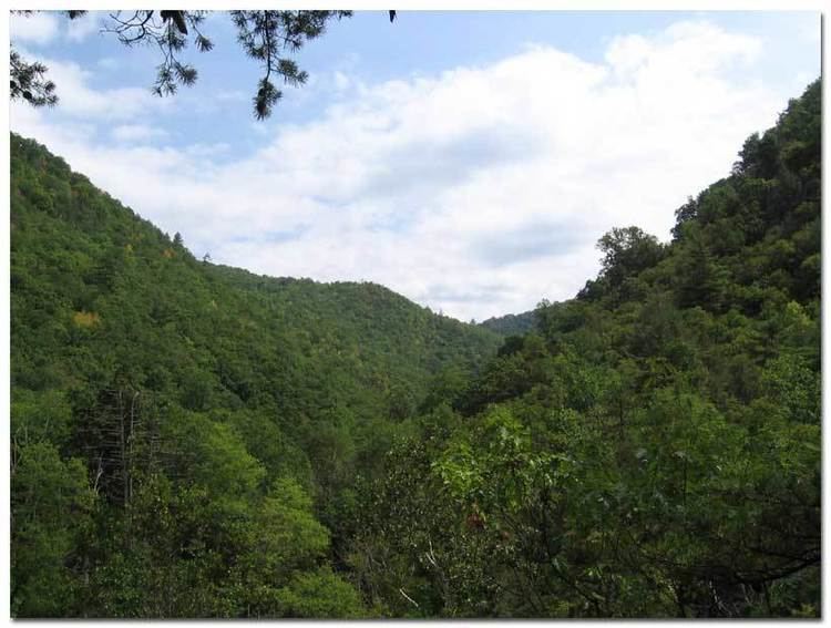
Carter County is situated entirely within the Blue Ridge Mountains, specifically the Unaka Range and the Iron Mountains. Roan Mountain, which at 6,285 feet (1,916 m) is the highest point in Tennessee outside the Great Smoky Mountains, straddles the county's eastern border with North Carolina. The county's boundary with Sullivan County is defined as the ridgeline of Holston Mountain.
Lakes
Rivers
Adjacent counties
National protected areas
State protected areas
Law enforcement
Carter County is served by the Carter County Sheriff's Department, located in Elizabethton. As of 2015, the Sheriff is Dexter Lunceford.
Demographics
As of the census of 2000, there were 56,742 people, 23,486 households, and 16,346 families residing in the county. The population density was 166 people per square mile (64/km²). There were 25,920 housing units at an average density of 76 per square mile (29/km²). The racial makeup of the county was 97.49% White, 1.00% Black or African American, 0.20% Native American, 0.26% Asian, 0.01% Pacific Islander, 0.27% from other races, and 0.78% from two or more races. 0.89% of the population were Hispanic or Latino of any race.
There were 23,486 households out of which 28.50% had children under the age of 18 living with them, 54.90% were married couples living together, 11.00% had a female householder with no husband present, and 30.40% were non-families. 26.50% of all households were made up of individuals and 11.00% had someone living alone who was 65 years of age or older. The average household size was 2.35 and the average family size was 2.83.
In the county, the population was spread out with 21.40% under the age of 18, 9.20% from 18 to 24, 29.00% from 25 to 44, 25.40% from 45 to 64, and 15.00% who were 65 years of age or older. The median age was 38 years. For every 100 females there were 94.50 males. For every 100 females age 18 and over, there were 91.60 males.
The median income for a household in the county was $27,371, and the median income for a family was $33,825. Males had a median income of $26,394 versus $19,687 for females. The per capita income for the county was $14,678. About 12.80% of families and 16.90% of the population were below the poverty line, including 23.00% of those under age 18 and 16.00% of those age 65 or over.