
Country United States Time zone CST (UTC-6) Elevation 175 m Local time Sunday 12:49 PM | Established November 4, 1884 ZIP codes 62016, 62092 Area 115.4 km² Population 2,966 (2010) | |
 | ||
Weather 15°C, Wind S at 29 km/h, 50% Humidity | ||
Carrollton Township is one of thirteen townships in Greene County, Illinois, USA. As of the 2010 census, its population was 2,966 and it contained 1,392 housing units.
Contents
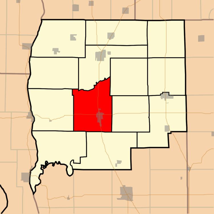
- Map of Carrollton Township IL 62016 USA
- Geography
- Cities towns villages
- Unincorporated towns
- Cemeteries
- Major highways
- Airports and landing strips
- Lakes
- Landmarks
- School districts
- Political districts
- References
Map of Carrollton Township, IL 62016, USA
Geography
According to the 2010 census, the township has a total area of 44.54 square miles (115.4 km2), of which 44.49 square miles (115.2 km2) (or 99.89%) is land and 0.05 square miles (0.13 km2) (or 0.11%) is water.
Cities, towns, villages
Unincorporated towns
(This list is based on USGS data and may include former settlements.)
Cemeteries
The township contains these seven cemeteries: Berdan, Carter, Elm Dale, Hopewell, Pinkerton Number 1, Saint Johns Catholic and Smith.
Major highways
Airports and landing strips
Lakes
Landmarks
School districts
Political districts
References
Carrollton Township, Greene County, Illinois Wikipedia(Text) CC BY-SA