
Airport type Public Elevation AMSL 1,163 ft / 354 m 4,300 1,311 Phone +1 330-323-8626 | 7/25 4,300 Elevation 354 m | |
 | ||
Address 253 Airport Rd SE, Carrollton, OH 44615, USA Similar Carroll County Airport R, Free Press Standard, Carroll County‑T, Carroll County Commissi, Cutler Real Estate | ||
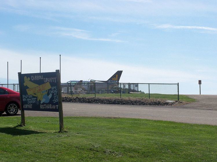
Carroll County–Tolson Airport (ICAO: KTSO, FAA LID: TSO) is a county–owned, public-use airport located one nautical mile (1.85 km) southeast of the central business district of Carrollton, a village in Carroll County, Ohio, United States. It is owned by the Carroll County Airport Authority. According to the FAA's National Plan of Integrated Airport Systems for 2009–2013, it is categorized as a general aviation airport.
Although many U.S. airports use the same three-letter location identifier for the FAA and IATA, this airport is assigned TSO by the FAA and no designation from the IATA (which assigned TSO to Tresco Heliport in Tresco, Isles of Scilly, United Kingdom).
Facilities and aircraft
Carroll County–Tolson Airport covers an area of 68 acres (28 ha) at an elevation of 1,163 feet (354 m) above mean sea level. It has one runway designated 7/25 with an asphalt surface measuring 4,300 by 75 feet (1,311 x 23 m).
For the 12-month period ending May 23, 2007, the airport had 34,950 aircraft operations, an average of 95 per day: 98% general aviation, 1% air taxi, and <1% military. At that time there were 17 aircraft based at this airport: 88% single-engine and 12% multi-engine.