
Postcode(s) 3844 Mean max temp Mean min temp Postal code 3844 | Elevation 700 m Local time Sunday 7:58 AM | |
 | ||
Weather 17°C, Wind E at 11 km/h, 90% Humidity | ||
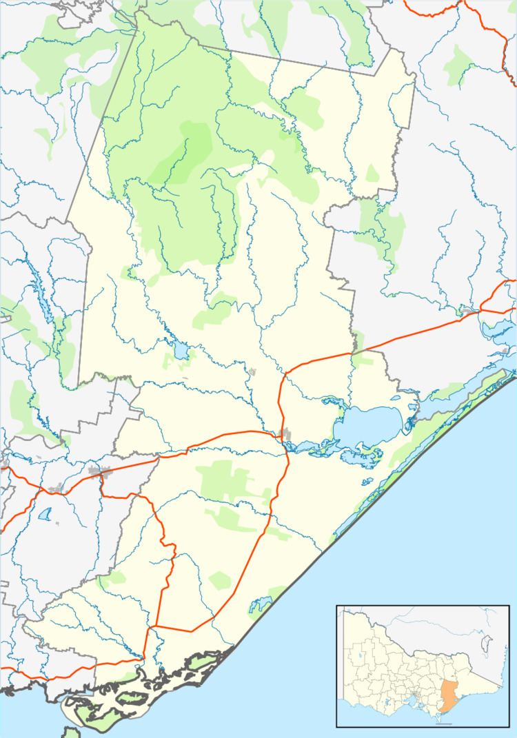
Carrajung is a town in eastern Victoria, Australia. Carrajung is situated between Yarram and Traralgon, about 5 kilometres from the Hyland Highway at a height of approximately 520 meters above sea level. Carrajung is situated close to the eastern end of the Grand Ridge Road.
Map of Carrajung VIC 3844, Australia
It has a population of around 100 people. Carrajung has a football oval, one church,a community hall and a primary school that is now closed.
Carrajung Post Office opened on 1 November 1887 and closed in 1974. Carrajung Lower, nearby, had a Post Office open from 1902 until 1911, and from 1922 until 1969 although known as Bruthen Creek until 1926.
References
Carrajung, Victoria Wikipedia(Text) CC BY-SA