
Sovereign state United Kingdom Province Ulster | Postcode district BT69 Local time Saturday 5:45 PM Dialling code 028 | |
 | ||
Weather 7°C, Wind S at 6 km/h, 85% Humidity | ||
Carnteel (from Irish: Carn tSiadhail, meaning "Sheil's cairn")) is a hamlet, townland and civil parish, about 2 miles northeast of Aughnacloy in County Tyrone, Northern Ireland. It is situated in the historic barony of Dungannon Lower.
Contents
Map of Carnteel, Aughnacloy, UK
Carnteel Village
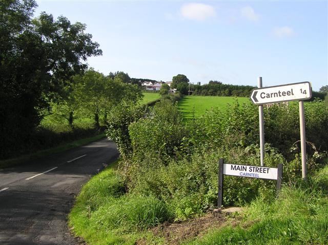
The village is situated 14 kilometres southwest of Dungannon, close to the B35 Dungannon to Aughnacloy Road, with a hilltop location, focused around a crossroads at its centre and with the ruins of an historic church. It is largely made up of housing, with a large agricultural machinery business to the north, and other facilities limited to a shop and post office.
Carnteel Parish
In 1837 Carnteel Parish, situated on the River Blackwater, had a population of 7,459 people (including those in Aughnacloy) and covered 13,432 acres. It was mountainous, with some bog, in the north of the parish and there was extensive quarrying. Most people were engaged in agriculture with some linen and cotton weaving.
The church at Carnteel was destroyed in the Irish Rebellion of 1641 and replaced with a church at Aghaloo, itself replaced after the building of a church in Aughnacloy in 1736.
The Parish contains the townlands of:
Carnteel Townland
The townland is situated in the historic barony of Dungannon Lower and the civil parish of Carnteel and covers an area of 235 acres.
The population of the townland declined during the 19th century:
The townland contains one Scheduled Historic Monument: a Church (grid ref: H6944 5460).