
OS grid reference SW715345 Local time Saturday 5:37 PM | Sovereign state United Kingdom Postcode district TR13 | |
 | ||
Weather 8°C, Wind W at 39 km/h, 67% Humidity | ||
Carnkie is a village in west Cornwall, England, United Kingdom. It is situated half a mile west of Rame, approximately three and a half miles west of Penryn and approximately five miles north east of Helston.. According to the Post Office the population at the 2011 census was included in the civil parish of Wendron.
Contents
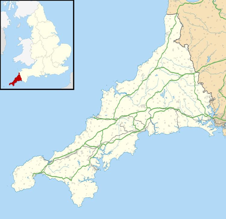
Map of Carnkie, Helston, UK
The village has a village hall and a garage, and until 2010 also had a Methodist chapel.
The chapel
The old chapel at Carnkie was built in 1900 as a Bible Christian Chapel. The chapel was closed in 2010 and the last service was held on 22 August.
References
Carnkie, Wendron Wikipedia(Text) CC BY-SA