
Prominence 1,001 m Parent peak Massif du Carlit | Elevation 2,921 m First ascent 1864 Mountain range Pyrenees | |
 | ||
Similar Puigmal, Canigou, Puigpedrós, Pica d'Estats, Tossa Plana de Lles | ||
Pic carlit mount 2921 m pyr n es orientales
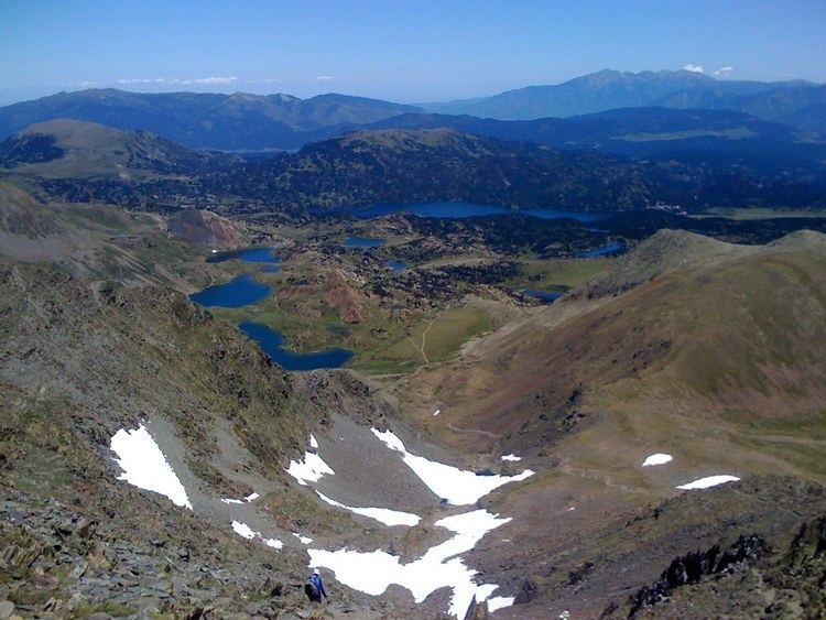
Pic Carlit (Puig Carlit in Catalan) is a mountain of Pyrénées-Orientales, France. Located in the Pyrenees, it has an elevation of 2,921 metres above sea level.
Contents
- Pic carlit mount 2921 m pyr n es orientales
- Map of Carlit 66760 Angoustrine Villeneuve des Escaldes France
- One step forward pic carlit vtt freeride extr me dh puymorens pyr n es
- History
- References
Map of Carlit, 66760 Angoustrine-Villeneuve-des-Escaldes, France
One step forward pic carlit vtt freeride extr me dh puymorens pyr n es
History
Henry Russell is known to have made the first ascent of the Pic Carlit in 1864, where he was fascinated by the beautiful view of the Étang du Lanoux, the biggest lake of the Pyrénées.
References
Carlit Wikipedia(Text) CC BY-SA