
FIPS code 19-90471 Elevation 383 m Population 149 (2010) | Time zone CST (UTC-6) GNIS feature ID 0467530 Local time Friday 4:07 AM | |
 | ||
Weather -8°C, Wind SW at 0 km/h, 95% Humidity Area 92.7 km² (92.23 km² Land / 47 ha Water) | ||
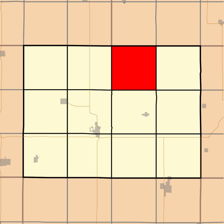
Carl Township is one of twelve townships in Adams County, Iowa, USA. At the 2010 census, its population was 149.
Contents
Map of Carl, IA, USA
Geography
Carl Township covers an area of 35.79 square miles (92.7 km2) and contains no incorporated settlements. According to the USGS, it contains two cemeteries: Carl and Mount Zion.
References
Carl Township, Adams County, Iowa Wikipedia(Text) CC BY-SA