
Population 11,605 (2011 census) | Postcode(s) 2229 Postal code 2229 | |
 | ||
Location 25 km (16 mi) south of Sydney CBD | ||
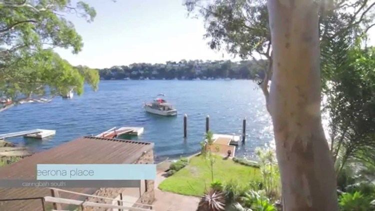
Caringbah South is a suburb, in southern Sydney, in the state of New South Wales, Australia. Caringbah is located 25 kilometres south of the Sydney central business district in the local government area of Sutherland Shire.
Contents
Map of Caringbah South NSW 2229, Australia
History
Caringbah is an Aboriginal word for a pademelon wallaby. The suburb was originally called Highfield, but it is unclear whether this was a position description or whether it was named after an early resident. Caringbah was used from 1911, after the steam trams began operating between Cronulla and Sutherland.
Thomas Holt (1811–88) owned most of the land that stretched from Sutherland to Cronulla in the 1860s. Most of the area around Miranda and Caringbah was used for market gardening from the 1880s. Caringbah was still used for orchards and farming until after World War II.
Caringbah South was once part of Caringbah but was declared a separate suburb in 2008.
Demographics
According to the 2011 census of Population, there were 11,605 residents in Caringbah South. 84.3% of people were born in Australia. The most common other countries of birth were England 3.6%, New Zealand 1.0%, Italy 0.5%, Scotland 0.5% and Greece 0.5%. In Caringbah South 90.8% of people only spoke English at home. Other languages spoken at home included Greek 1.6%, Italian 0.9%, Arabic 0.4%, Croatian 0.4% and German 0.4%. The most common responses for religion in Caringbah South were Catholic 35.0%, Anglican 28.4%, No Religion 14.2%, Uniting Church 4.5% and Presbyterian and Reformed 3.3%.