
Elevation 5 m (16 ft) | Local time Friday 12:12 AM | |
 | ||
Area code(s) Country + town = 56 + 65 Weather 11°C, Wind SW at 5 km/h, 85% Humidity | ||
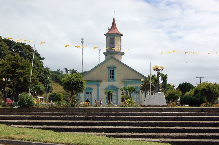
Carelmapu (lit. from Mapudungun "Green Land") is a port and town (Spanish: pueblo) at the western end of Chacao Channel, southern Chile. Carelmapu was established by the Spanish in 1602 as San Antonio Ribera de Carelmapu following the Destruction of Seven Cities. In 1643 Carealmapu was sacked and its church vandalized by the Dutch corsair Hendrick Brouwer.
Contents
Map of Carelmapu, Maull%C3%ADn, Los Lagos Region, Chile
Fort system
During colonial times Carelmapu was the site of a small fort system made up of Fuerte de Carelmapu just west of Carelmapu, the sentinel outpost of Astillero and the battery of Coronel. The last two were not located in Carelmapu proper but further east along the northern shores of Chacao Channel. The oroginal Fuerte de Carelmapu was built in wood in 1603. At present remnants of it can be found in a deteriorated state.