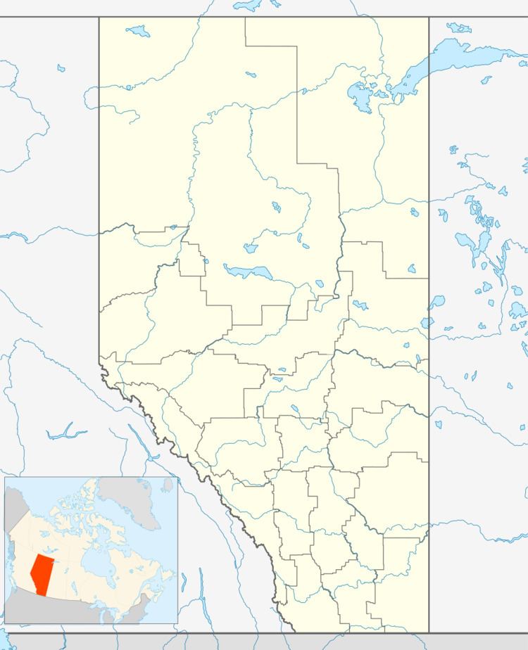
 | ||
Carbondale is a hamlet in central Alberta, Canada within Sturgeon County. It is located 2 kilometres (1.2 mi) west of Highway 28, approximately 11 kilometres (6.8 mi) north of Edmonton's city limits.
Contents
Map of Carbondale, AB, Canada
Carbondale was so named on account of coal mines near the original town site; coal is a carbon-based fuel.
Demographics
As a designated place in the 2016 Census of Population conducted by Statistics Canada, Carbondale recorded a population of 75 living in 32 of its 38 total private dwellings, a change of 2998872000000000000♠−12.8% from its 2011 population of 86. With a land area of 1.12 km2 (0.43 sq mi), it had a population density of 67.0/km2 (173.4/sq mi) in 2016.
As a designated place in the 2011 Census, Carbondale had a population of 86 living in 35 of its 40 total dwellings, a 43.3% change from its 2006 population of 60. With a land area of 1.11 km2 (0.43 sq mi), it had a population density of 77.5/km2 (200.7/sq mi) in 2011.
