
Population 1,934 (2011 census) Postal code 4878 | Postcode(s) 4878 Caravonica Barron | |
 | ||
Caravonica is a suburb of Cairns in Far North Queensland, Australia, approximately 11 kilometres (6.8 mi) from the City Centre. At the 2011 Australian Census the suburb recorded a population of 1,934.
Contents
Map of Caravonica QLD 4878, Australia
Geography
Caravonica lies in the foothills of the Queensland tropical rain forests. The actual village itself is 1.2 kilometres (0.75 mi) in length from its most northern point to its most southern point. The boundary of the suburb can be found as far north as the Tjapukai Aboriginal Culture Park and the Skyrail Rainforest Cableway's southern terminal is known as the Caravonica Terminal. The southern border aligns with the Barron River.
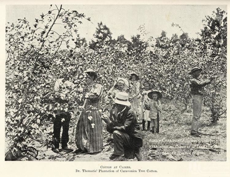
History
Caravonica was part of the Shire of Mulgrave and then the City of Cairns local government areas. Caravonica State School was established in 1927.