
Country Peru Area 13,140 km² Region Arequipa Region | UBIGEO 0403 Capital Caravelí | |
 | ||
Website www.municaraveli.gob.pe | ||
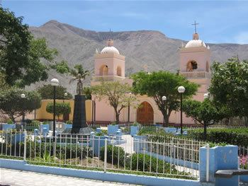
Caravelí Province is one of eight provinces in the Arequipa Region of Peru.
Contents
Map of Caravel%C3%AD Province, Peru
Political Division
The province is divided into thirteen districts which are:
Ethnic groups
The province is inhabited by indigenous citizens of Aymara and Quechua descent. Spanish, however, is the language which the majority of the population (84.24%) learnt to speak in childhood, 14.49% of the residents started speaking using the Quechua language and 1.07 % using Aymara (2007 Peru Census).
References
Caravelí Province Wikipedia(Text) CC BY-SA