
Peak Monte Redenção Elevation 716 m | Borders on Carajás Mountains | |
 | ||
Andreia poston serra dos carajas
The Carajás Mountains or Serra dos Carajás are a mountain range to the west of the municipality of Marabá in the Pará state of Brazil. Monte Redenção, Marabá's highest point, is located there.
Contents
- Andreia poston serra dos carajas
- Map of CarajC3A1s Mountains Parauapebas State of ParC3A1 Brazil
- Caraj s pa
- References
Map of Caraj%C3%A1s Mountains, Parauapebas - State of Par%C3%A1, Brazil
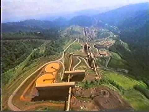
The mountains are contained in the Carajás National Forest, a 411,949 hectares (1,017,950 acres) sustainable use conservation unit created in 1998 that includes mining operations in a huge deposit of high-grade iron ore.
Caraj s pa
References
Carajás Mountains Wikipedia(Text) CC BY-SA