
Area 178 ha | Established 1994 | |
 | ||
Managing authorities Website Capricornia Cays National Park Similar Mount Colosseum National, Wild Cattle Island National, Coalstoun Lakes National, Rundle Range National, Mazeppa National Park | ||
Capricornia Cays is both a national park and a scientific national park in Queensland (Australia), located 486 km and 472 km north of the state capital Brisbane respectively. Collectively they comprise 241 ha of coral cays.
Contents
Popular recreational activities in the park includes bird, whale and turtle watching as well as camping, walking, swimming, boating, snorkelling and diving. Capricornia Cays National Park is noted for its biological diversity, beauty and for provided habitat for a number of endangered plants and animals. In particular the cays are recognized as having the largest breeding population of endangered loggerhead turtles in the South Pacific.
Access to the islands via boat is available from Gladstone, Bundaberg and 1770.
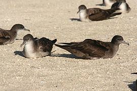
BirdsEdit
The cays form an Important Bird Area because they support more than 1% of the world populations of black noddies (with up to 300,000 nests) and wedge-tailed shearwaters (up to 560,000 nests), making up the majority of the east Australian breeding populations of these species, and sometimes more than 1% of the world population of brown boobies (1000-4000 nests).
Seasonal closures in some areas is imposed to protect breeding seabirds.
MolluscsEdit
233 mollusc species have been recorded from the islands.
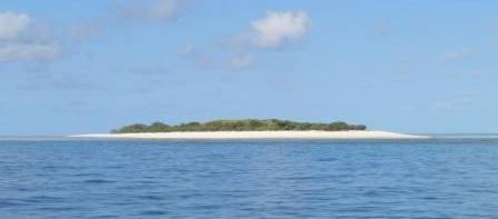
The caysEdit
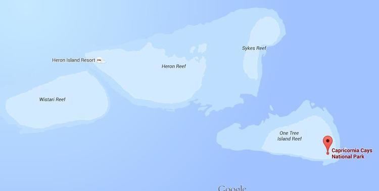
Capricornia Cays National Park protects eight vegetated coral cays in the Capricorn and Bunker group of islands of the southern Great Barrier Reef:
The cays are completely built by corals. The area is also of significance as a fishery, particularly for king prawns These eight islands are part of the Great Barrier Reef World Heritage Area and all surrounded by reefs. Vegetation on the cays is dominated by the flowering tree species, Pisonia grandis.
A further six cays form Capricornia Cays National Park (Scientific):
There is no public access to these cays.