
Country Argentina Elevation 979 m (3,212 ft) CPA base X5184 Local time Wednesday 4:53 PM | Time zone ART (UTC-3) Dialing code +54 3548 | |
 | ||
Weather 25°C, Wind N at 21 km/h, 83% Humidity Points of interest El Cajón Dam, El Zapato, Parroquia San Antonio D, Parque Temático y Paseo Cu, Parador El Faro | ||
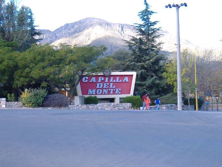
Visiting argentina cordoba capilla del monte and rosario
Capilla del Monte is a small city in the northeastern part of the province of Córdoba, Argentina, located by the Sierras Chicas mountain chain, in the northern end of the Punilla Valley. It has about 11,281 inhabitants as per the 2010 census .
Contents
- Visiting argentina cordoba capilla del monte and rosario
- Map of Capilla del Monte CC3B3rdoba Argentina
- For sale farm capilla del monte cordoba argentina ongamira
- Origin
- Location
- Climate
- References
Map of Capilla del Monte, C%C3%B3rdoba, Argentina
The main tourist attraction in the area is the Cerro Uritorco, a small mountain only 3 km from the city, famed around Argentina as a center of alleged paranormal phenomena and UFO sightings.
The city also features the tall El Cajón Dam and its large reservoir.
Capilla del Monte was founded on October 30, 1585. Its name means "Mount's Chapel" in Spanish.
The area has been used as a special stage in the 2006 Rally Argentina.
For sale farm capilla del monte cordoba argentina ongamira
Origin
The name Capilla del Monte refers to the first chapel that was founded in the area almost 500 years ago, which was founded by the Spanish Jaimes family. According to the official records that chapel is called the church of San Antonio de Padua, and is located just a few kilometers to the east of the current city center. The church is situated on a hill about half a kilometer from the original train station of the Tren de las Sierras. However, some locals claim that the chapel that gives the city its name is a different one, located in another area that hasn’t yet been urbanized. Until the 1970s, the city’s population was located mostly around the train station. That building now houses the Center of Tourist Information.
Location
The city extends along the western foothills of the mountains Cerro Uritorco and Cerro Las Gemelas to the lake El Cajón, which forms from the river Río Dolores. It centers around the highway Ruta Nacional 38. Urban development has grown from the late 1980s, encouraged by the arrival of families from other cities, especially those from Buenos Aires, Rosario, and Córdoba. Development was dominated by residential construction. The urban area has grown to include areas that still maintain predominantly natural characteristics, such as the rock formation El Zapato, the Los Paredones hills, and the banks of the Calabalumba River.
Climate
Capilla del Monte has a subtropical highland climate, with an average annual precipitation of 641 millimetres (25.2 in). Summers are pleasant and winters are chilly and drier. Snowfalls are uncommon. This climate is described by the Köppen climate classification as Cwb.