
Elevation 625 m (2,051 ft) Local time Wednesday 4:29 PM | Metrop. region Sorocaba Time zone BRT/BRST (UTC-3/-2) | |
 | ||
Weather 29°C, Wind SE at 14 km/h, 60% Humidity | ||
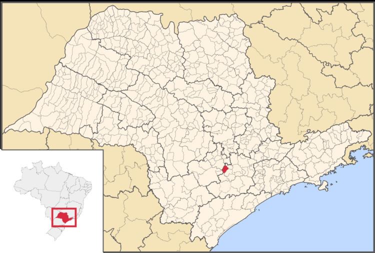
Capela do Alto is a municipality in the state of São Paulo in Brazil. It is part of the Metropolitan Region of Sorocaba. The population is 19,482 (2015 est.) in an area of 169.89 km². The elevation is 625 m.
Contents
Map of Capela do Alto - State of S%C3%A3o Paulo, Brazil
Demographics
According to the 2000 IBGE Census, the population was 14,247, of which 11,111 are urban and 3,136 are rural. The average life expectancy was 69.31 years. The literacy rate was 89.43%.
References
Capela do Alto Wikipedia(Text) CC BY-SA