
 | ||
Cape Howe is a coastal headland in eastern Australia, forming the south-eastern end of the Black-Allan Line, a portion of the border between New South Wales and Victoria. Cape Howe was also the original name of West Cape Howe, a coastal headland near Albany, Western Australia that forms the westernmost extent of the Great Australian Bight.
Contents
Map of Cape Howe, New South Wales, Australia
History
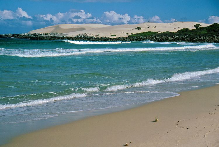
Cape Howe was named by Captain Cook when he passed it on 20 April 1770, honouring Admiral Earl Howe who was Treasurer of the British Royal Navy at the time. The coordinates Cook gave are almost exactly the modern surveyed location.
Cape Howe in Western Australia was named by Captain George Vancouver on 28 September 1791, also in honour of Admiral Howe. Vancouver had previously been a midshipman on Cook's second and third Pacific voyages. This Cape Howe was renamed West Cape Howe by Matthew Flinders on 8 December 1801, to distinguish it from Cook's Cape Howe.