
Country United States FIPS code 29-11260 Elevation 119 m Local time Wednesday 11:22 AM | GNIS feature ID 0766397 Area 182.5 km² Population 37,778 (2000) | |
 | ||
Weather 16°C, Wind SW at 11 km/h, 31% Humidity Points of interest Glenn House, Rosemary Berkel and Harry L, Isle Casino Cape Girardeau, Fort D, Kiwanis Park Colleges and Universities | ||
Cape Girardeau Township is one of ten townships in Cape Girardeau County, Missouri, USA. As of the 2000 census, its population was 37,778.
Contents
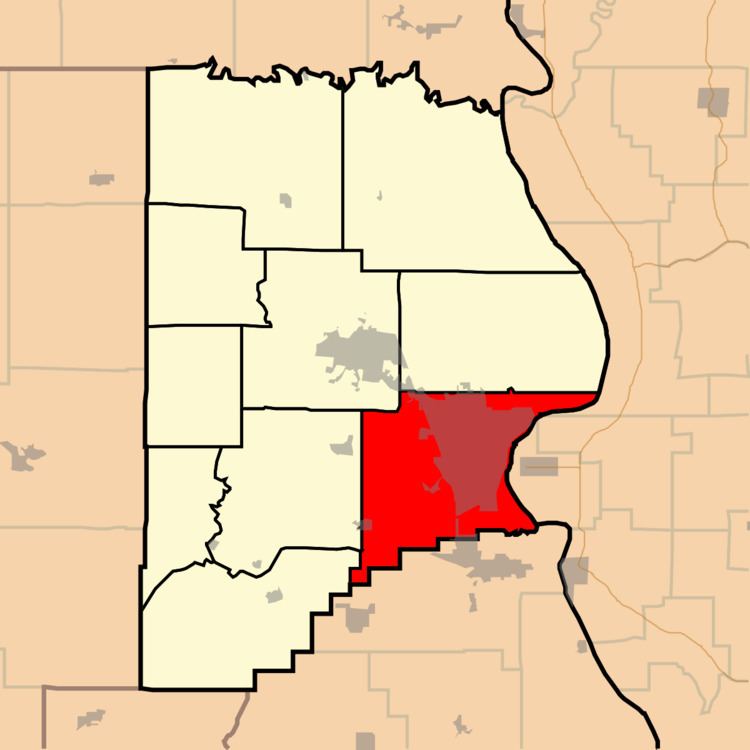
Map of Cape Girardeau Township, MO, USA
History
Cape Girardeau Township was founded in 1807. The township took its name from the city of Cape Girardeau.
Geography
Cape Girardeau Township covers an area of 70.46 square miles (182.5 km2) and contains one incorporated settlement, Cape Girardeau. It contains fifteen cemeteries: County Memorial Park, Davis, Fairmon, Hitt, Hitt, Hitt, Lorimier, McGuire, Mount Auburn, Nunn, Old Hanover, Saint Marys, Salem, Shady Grove and Suedekum.
The streams of Cape La Croix Creek, Flora Creek, Juden Creek, Ramsey Branch, Randol Creek, Ranney Creek, Scism Creek and Sloan Creek run through this township.
Transportation
Cape Girardeau Township contains two airports or landing strips: Saint Francis Hospital Heliport and Southeast Missouri Hospital Heliport.