
Postcode(s) 3351 State electorate(s) Buninyong Postal code 3351 Federal division Division of Corangamite | Local time Thursday 3:44 AM | |
 | ||
Location 154 km (96 mi) W of Melbourne37 km (23 mi) SW of Ballarat Weather 17°C, Wind N at 13 km/h, 56% Humidity | ||
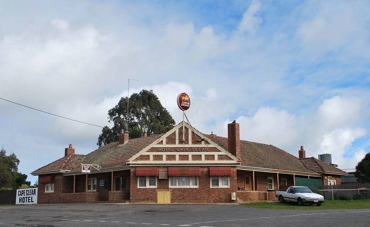
Cape Clear is a small town located in Victoria, Australia. Cape Clear has a hotel and a general store. The town is close to the Woady Yaloak River. The area was once vibrant during the gold rush in the 19th century. Cape Clear Post Office opened on 17 April 1865. It is now largely dependent on farming.
Map of Cape Clear VIC 3351, Australia
Cape Clear was named by Irish goldminers who originated from Cape Clear in Ireland. Despite its name, it is about 100 kilometres from the coast. A 13 metre high model lighthouse with a working light was constructed near the hotel in 2008 to create a local landmark.
The Cape Clear Cast Iron Mileposts, located on Lismore-Scarsdale Road and Rokewood-Skipton Road, are listed on the Victorian Heritage Register.
References
Cape Clear, Victoria Wikipedia(Text) CC BY-SA