
Country United States FIPS code 37-10260 Elevation 6 m Local time Wednesday 11:40 AM | Time zone Eastern (EST) (UTC-5) GNIS feature ID 1019521 Population 2,046 (2013) | |
 | ||
Weather 25°C, Wind NW at 14 km/h, 48% Humidity Area 6.993 km² (6.475 km² Land / 52 ha Water) | ||
Cape Carteret is a town in Carteret County, on the southern coast of North Carolina in the United States. It was incorporated in 1959 and had a population of 1,917 as of the 2010 census, and an estimated population of 2,066 in 2015.
Contents
Map of Cape Carteret, NC 28584, USA
GeographyEdit
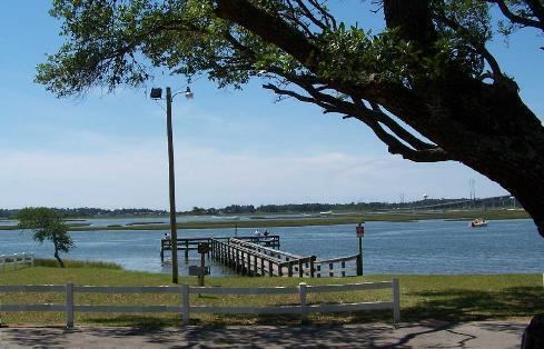
Cape Carteret is located in western Carteret County at 34°41′40″N 77°3′33″W (34.694478, -77.059129). It is bordered to the north by the town of Peletier, to the east by Bogue, and to the west by Cedar Point. To the south is Bogue Sound, with the town of Emerald Isle on the opposite shore, connected to Cape Carteret by the B. Cameron Langston Bridge carrying North Carolina Highway 58. NC 58 also leads north 15 miles (24 km) to U.S. Route 17 at Maysville. North Carolina Highway 24 leads east 20 miles (32 km) to Morehead City and west 22 miles (35 km) to Jacksonville.
According to the United States Census Bureau, the town of Cape Carteret has a total area of 2.7 square miles (6.9 km2), of which 2.5 square miles (6.4 km2) is land and 0.19 square miles (0.5 km2), or 7.04%, is water.
DemographicsEdit
As of the census of 2000, there were 1,214 people, 545 households, and 415 families residing in the town. The population density was 511.5 people per square mile (197.8/km²). There were 711 housing units at an average density of 299.6 per square mile (115.8/km²). The racial makeup of the town was 98.11% White, 0.33% African American, 0.16% Native American, 0.58% Asian, 0.08% Pacific Islander, 0.16% from other races, and 0.58% from two or more races. Hispanic or Latino of any race were 1.40% of the population.
There were 545 households out of which 17.2% had children under the age of 18 living with them, 69.5% were married couples living together, 5.3% had a female householder with no husband present, and 23.7% were non-families. 21.1% of all households were made up of individuals and 13.6% had someone living alone who was 65 years of age or older. The average household size was 2.23 and the average family size was 2.51.
In the town, the population was spread out with 14.7% under the age of 18, 3.7% from 18 to 24, 18.5% from 25 to 44, 29.7% from 45 to 64, and 33.4% who were 65 years of age or older. The median age was 54 years. For every 100 females there were 96.1 males. For every 100 females age 18 and over, there were 93.3 males.
The median income for a household in the town was $44,514, and the median income for a family was $49,722. Males had a median income of $30,542 versus $25,000 for females. The per capita income for the town was $26,806. About 2.6% of families and 5.0% of the population were below the poverty line, including 12.6% of those under age 18 and 3.1% of those age 65 or over.