
Country Vietnam Capital Đồng Đăng Area 644 km² Local time Wednesday 10:13 PM | Region Northeast Time zone UTC + 7 (UTC+7) Province Lang Son Province | |
 | ||
Weather 14°C, Wind NE at 8 km/h, 86% Humidity Points of interest Đền mẫu, Khu Du Lịch Mẫu Sơn, Mount Mẫu Sơn, Bia Thủy Môn Đình | ||
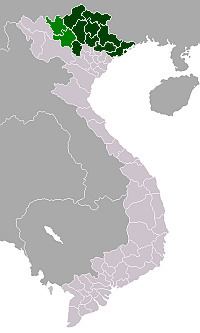
Cao Lộc is a rural district of Lạng Sơn Province in the Northeast region of Vietnam. As of 2003, the district had a population of 75,980. The district covers an area of 644 km². The district capital lies at Đồng Đăng.
Contents
Map of Cao L%E1%BB%99c District, L%E1%BA%A1ng S%C6%A1n, Vietnam
Administrative divisions
Cao Lộc, Đồng Đăng (site of the border crossing), Tân Thành, Xuân Long, Yên Trạch, Tân Liên, Gia Cát, Cống Sơn, Mẫu Sơn, Xuất Lễ, Cao Lâu, Hải Yến, Lộc Yên, Thanh Lòa, Hòa Cư, Hợp Thành, Thạch Đạn, Bảo Lâm, Thụy Hùng, Song Giáp, Phú Xá, Bình Trung, Hồng Phong.
References
Cao Lộc District Wikipedia(Text) CC BY-SA