
 | ||
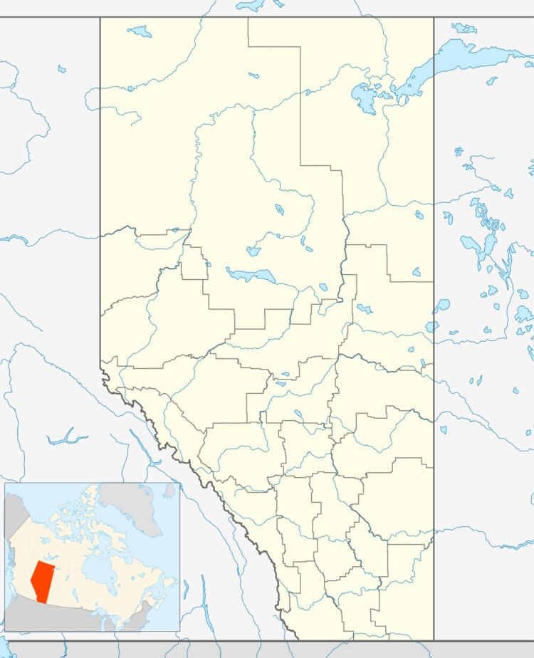
Canyon Creek is a hamlet in northern Alberta, Canada within the Municipal District of Lesser Slave River No. 124. It is located on Highway 2, approximately 234 kilometres (145 mi) east of Grande Prairie.
Contents
Map of Canyon Creek, AB, Canada
Demographics
As a designated place in the 2016 Census of Population conducted by Statistics Canada, Canyon Creek recorded a population of 284 living in 103 of its 116 total private dwellings, a change of 7000970000000099999♠9.7% from its 2011 population of 259. With a land area of 1.64 km2 (0.63 sq mi), it had a population density of 173.2/km2 (448.5/sq mi) in 2016.
As a designated place in the 2011 Census, Canyon Creek had a population of 259 living in 90 of its 110 total dwellings, a 13.6% change from its 2006 population of 228. With a land area of 1.92 km2 (0.74 sq mi), it had a population density of 134.9/km2 (349.4/sq mi) in 2011.