
Genre Legend | Type Sunken kingdom | |
 | ||
Weather 11°C, Wind SW at 16 km/h, 84% Humidity | ||
The bells of cantre r gwaelod screening version
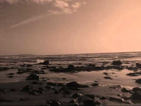
Cantre'r Gwaelod, also known as Cantref Gwaelod or Cantref y Gwaelod (English: The Lowland Hundred), is a legendary ancient sunken kingdom said to have occupied a tract of fertile land lying between Ramsey Island and Bardsey Island in what is now Cardigan Bay to the west of Wales. It has been described as a "Welsh Atlantis" and has featured in folklore, literature and song.
Contents
- The bells of cantre r gwaelod screening version
- Cantre r gwaelod
- The myth
- Relationship to myth of Llys Helig
- Physical evidence
- Origins of the myth
- Analogies in other legends
- References
Cantre r gwaelod
The myth
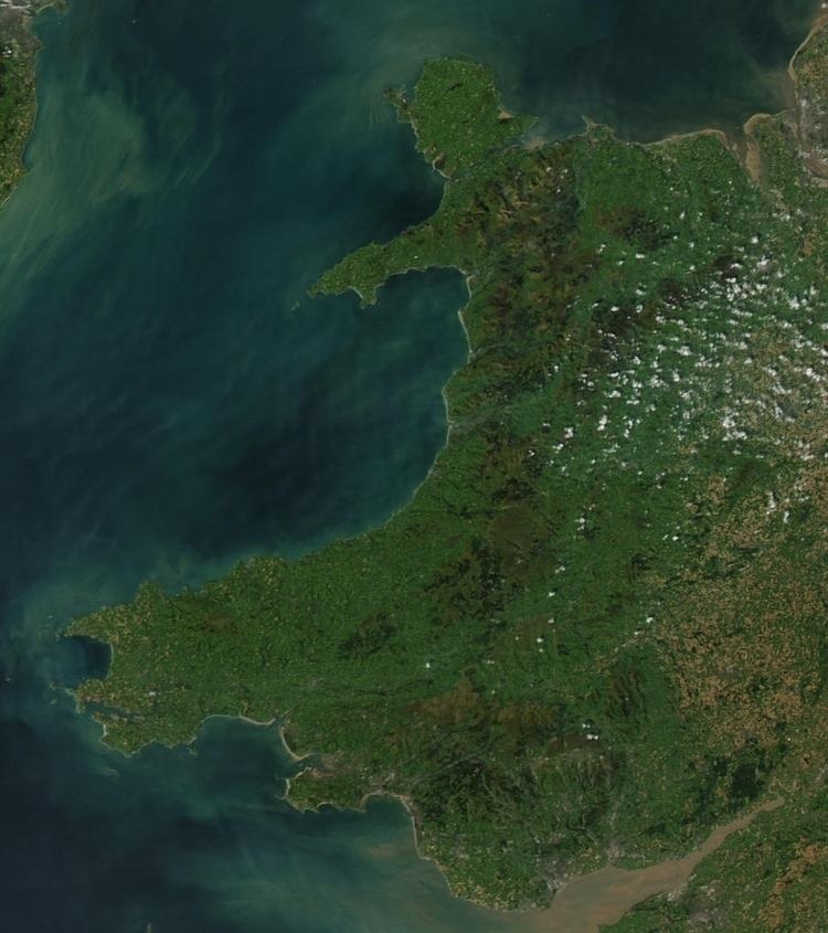
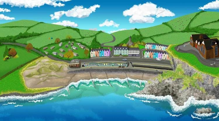
Cantre'r Gwaelod was an area of land which, according to legend, was located in an area west of present-day Wales which is now under the waters of Cardigan Bay. Accounts variously suggest the tract of land extended from Bardsey Island to Cardigan or as far south as Ramsey Island. Legends of the land suggest that it may have extended 20 miles west of the present coast.
There are several versions of the myth. The earliest known form of the legend is usually said to appear in the Black Book of Carmarthen, in which the land is referred to as Maes Gwyddno (English: the Plain of Gwyddno). In this version, the land was lost to floods when a well-maiden named Mererid neglected her duties and allowed the well to overflow.
Rachel Bromwich questions this identification, saying that "There is no certainty, however, that in twelfth century tradition Maes Gwyddneu did represent the submerged land in Cardigan Bay." She also links Gwyddno Garanhir with the Hen Ogledd, not Wales.
The popular version known today is thought to have been formed from the 17th century onwards. Cantre'r Gwaelod is described as a low-lying land fortified against the sea by a dyke, Sarn Badrig ("Saint Patrick's causeway"), with a series of sluice gates that were opened at low tide to drain the land.
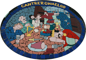
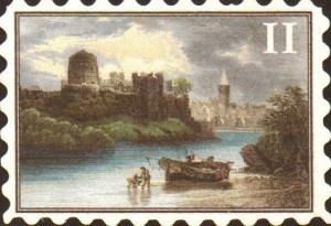
Cantre'r Gwaelod's capital was Caer Wyddno, seat of the ruler Gwyddno Garanhir. Two princes of the realm held charge over the dyke. One of these princes, called Seithenyn, is described in one version as a notorious drunkard and carouser, and it was through his negligence that the sea swept through the open floodgates, ruining the land.
The church bells of Cantre'r Gwaelod are said to ring out in times of danger.
Relationship to myth of Llys Helig
Rachel Bromwich discusses a similar tale, that of the submergence of the kingdom of Helig ap Glanawg in the Conwy estuary. As with Cantre'r Gwaelod, there are tales of remains being seen of the sunken kingdom (Llys Helig). Bromwich believes that the two stories influenced each other, and that "The widespread parallels to this inundation theme would suggest that the two stories are in fact one in origin, and were localized separately in Cardiganshire and in the Conway estuary, around two traditional figures of the sixth century. She also notes that the Halliwell Manuscript gives Helig the title "Lord of Cantre'r Gwaelod". In the book New Directions In Celtic Studies Antone Minard wrote that "The Welsh legends of Cantre'r Gwaelod and Llys Helig (Helig's Court) contain the same details of audible bells beneath the waves and ruins which are visible at the equinoctial tides, which are the anchors of credulity in the story".
Physical evidence
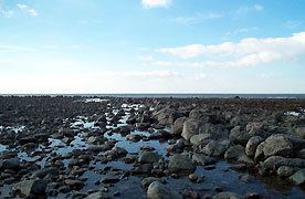
There is no reliable physical evidence of the substantial community that legend promises lies under the sea, although several reports exist of remains being sighted.
In 1770, Welsh antiquarian scholar William Owen Pughe reported seeing sunken human habitations about four miles (6.4 km) off the Ceredigion coast, between the rivers Ystwyth and Teifi.
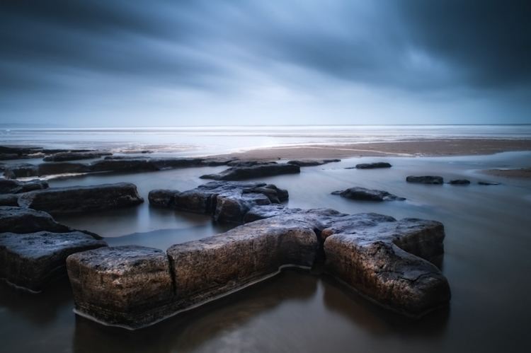
In the 1846 edition of The Topographical Dictionary of Wales, Samuel Lewis described a feature of stone walls and causeways beneath the shallow waters of Cardigan Bay:
In the sea, about seven miles west of Aberystwyth in Cardiganshire, is a collection of loose stones, termed Caer Wyddno, "the fort or palace of Gwyddno;" and adjoining it are vestiges of one of the more southern causeways or embankments of Catrev Gwaelod. The depth of water over the whole extent of the bay of Cardigan is not great; and on the recess of the tide, stones bearing Latin inscriptions, and Roman coins of various emperors, have been found below high-water mark: in different places in the water, also, are observed prostrate trees."
Lewis takes the view that maps by the cartographer Ptolemy marked the coastline of Cardigan Bay in the same location as it appears in modern times, suggesting that the date of the flood occurred before the second century AD.
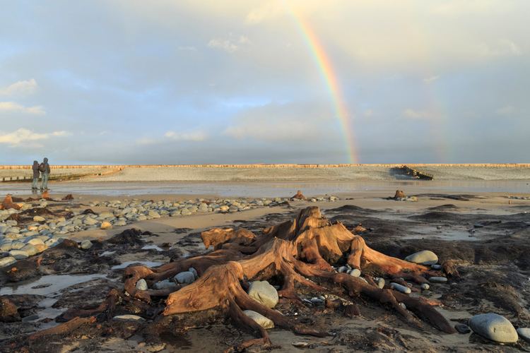
The "causeways" described by Lewis can be seen today at beaches around Cardigan Bay. Known as Sarnau, these ridges stretch several miles into the sea at right angles to the coast, and are located between each of the four river mouths in the north of Cardigan Bay. Modern geologists surmise that these formations of clay, gravel and rocks are moraines formed by the action of melting glaciers end of the last ice age. In a 2006 episode of the BBC television documentary Coast, presenter Neil Oliver visited Sarn Gynfelyn at Wallog. The programme also featured the remains of the submerged forest at Ynyslas, near Borth which is associated with the lost land of Cantre'r Gwaelod. The vista of dead oak, pine, birch, willow and hazel tree stumps preserved by the acid anaerobic conditions in the soil is revealed at low tide and is estimated to be about 5000 years old.
Origins of the myth
The myth, like so many others, may be a folk memory of gradually rising sea levels at the end of the ice age. The physical remains of the preserved sunken forest at Borth, and of Sarn Badrig nearby, could have suggested that some great tragedy had overcome a community there long ago, and so the myth may have grown from that.
Analogies in other legends
The legend of Cantre'r Gwaelod is comparable to the deluge myth found in nearly every ancient culture, and it has been likened to the story of Atlantis.
Several similar legends exist in Celtic mythology which refer to a lost land beneath the waves. Both the Breton legend of Ker-Ys and the Arthurian tale of Lyonesse refer to a kingdom submerged somewhere in the Celtic Sea, off the coast of Brittany or Cornwall respectively.