Cannon Street, is a Lower City collector road in Hamilton, Ontario, Canada. It starts off at Queen Street North as a one-way street (Westbound) up to Sherman Avenue North where it then switches over to a two-way street the rest of the way Eastward and ends just past Kenilworth Avenue North on Barons Avenue and merges with Britannia Avenue, a street that runs parallel with Cannon Street from Ottawa Street North to Barons Avenue.
Cannon Street was originally called Henry Street. The section between Bay and James Streets was called Miles Street. The origins of the Cannon street name remains a mystery for local historians. Cannon Street today at Brian Timmis/ former Ivor Wynne Stadium/ Tim Horton's Field location is also known as Bernie Faloney Way which is named after the quarterback who played for the local CFL team, Hamilton Ti-Cats, between the years of 1957-64.
On 24 May 1909 a Coney Island-type amusement park was opened in Hamilton. It was known as Maple Leaf Park and was bounded by Barton Street (north), Ottawa Street (east), Cannon Street (south), Rosslyn Avenue (west). It failed to attract enough visitors to keep the gates open and only lasted a year. Investors of the Park sold the land to local real estate speculators for $25,000 interested in the property because the land itself was a valuable commodity in the booming East Hamilton market.
Landmarks
Note: Listing of Landmarks from West to East.
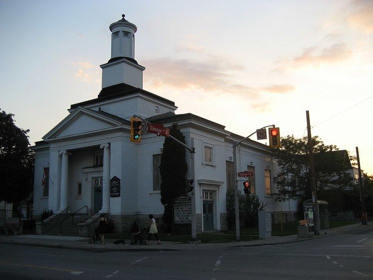
Hess Street Elementary SchoolRailway StreetSir John A. Macdonald Secondary SchoolTan Thanh Supermarket Inc. (Vietnamese)T & H Auto Electric Ltd., buildingJamesville, which is shared by the Italian & Portuguese communities of HamiltonMixed Media, (building)site of the old Tivoli TheatreAuto Part Source- (discount auto parts centre)Active Green + Ross: Complete Tire & Auto CentreFirth Brothers Ltd. (5-storey factory building)Giant Tiger (All-Canadian family discount store)McLaren ParkUnited Trophy Mfg. (since 1926)Good Shepherd Centre134 Mary Street Building (Cannon Knitting Mills Limited)Chevrolet City, (car dealership)Beasley ParkBeasley Park Community CentreBarton Auto PartsPaper Fibres Inc., (company)Wellington TavernCanada Post Corporation: Hamilton letter carrier depot 1Barton Auto PartsSt. Brigids Elementary SchoolHamilton Cab 777-7777 (headquarters)Wentworth Baptist ChurchHamilton Stirton TS Electrical complexBrian Timmis Stadium,Ivor Wynne Stadium (right behind Brian Timmis Stadium)Scott Park Secondary SchoolScott Park ArenaCanadian Pacific railway lineHoly Name of Jesus Elementary SchoolGospel Hall, (church)Ottawa Street Shopping District - "Textile District"Laidlaw Memorial United ChurchAround the Bay Road Race 5 kilometre markerQueen Mary Elementary SchoolHoly Family Roman Catholic ChurchHoly Family Elementary School (right behind Holy Family R.C. Church)Cannon Street ends and merges here with Britannia AvenueAndrew Warburton ParkNote: Listing of neighbourhoods from West to East.
StrathconaCentral - The financial center of Hamilton, OntarioBeasleyLandsdaleGibsonStipeleyCrown Point WestCrown Point EastHomesideLower City Roads:
Burlington Street, West/EastBarton Street, West/EastCannon Street, West/EastWilson StreetKing William StreetKing Street, West/EastMain Street, West/East; - Queenston RoadJackson Street, EastHunter Street, West/EastAugusta StreetCharlton Avenue, West/EastAberdeen AvenueNiagara Escarpment (Mountain) Roads:
Concession StreetQueensdale Avenue West/ EastScenic Drive - Fennell Avenue, West/EastSanatorium RoadMohawk Road, West/EastLimeridge Road West/EastLincoln M. Alexander Parkway - Mud Street, (Hamilton City Road 11)Stone Church Road, West/East; Rymal Road, West/EastTwenty RoadNote: Listing of streets from West to East.
Queen Street, NorthHess Street, NorthBay Street, NorthMacNab Street, NorthJames Street, NorthHughson Street, NorthJohn Street, NorthCatharine Street, NorthFerguson Avenue, NorthWellington Street, NorthVictoria Avenue, NorthWentworth Street, NorthSherman Avenue, NorthGage Avenue, NorthOttawa Street, NorthKenilworth Avenue, North