
- right Fiddlers Green Creek - elevation 257 m (843 ft) - elevation 161 m (528 ft) | - location Chandlers Creek - location near Weeragua | |
 | ||
- left Flat Rock Creek, Beehive Creek | ||
The Cann River East Branch is a perennial river located in the East Gippsland region of the Australian state of Victoria.
Contents
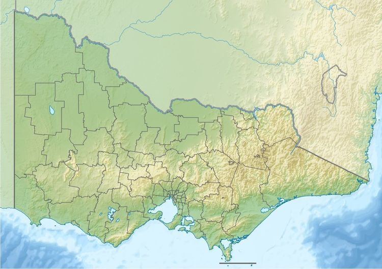
Map of Cann River East Branch, Chandlers Creek VIC, Australia
Course and features
The Cann River East Branch rises southwest of Mount Coopracambra in remote country on the western boundary of the Coopracambra National Park and flows generally south, joined by three minor tributaries before reaching its confluence with the Cann River, south of the locality of Weeragua in the Shire of East Gippsland. The river descends 97 metres (318 ft) over its 10 kilometres (6.2 mi) course.
The Monaro Highway runs parallel to the course of the river.
References
Cann River East Branch Wikipedia(Text) CC BY-SA