
Phone +61 13 74 68 | Area 30 km² Established 1977 | |
 | ||
Managing authorities Website Cania Gorge National Park Similar Endeavour River National, Auburn River National, Eurimbula National Park, Coalstoun Lakes National, Isla Gorge National Park | ||
Cania gorge national park
Cania Gorge is a national park in Queensland, Australia, 373 km northwest of Brisbane. The nearest town is Monto. Three Moon Creek is the name of the waterway that runs along the length of the gorge.
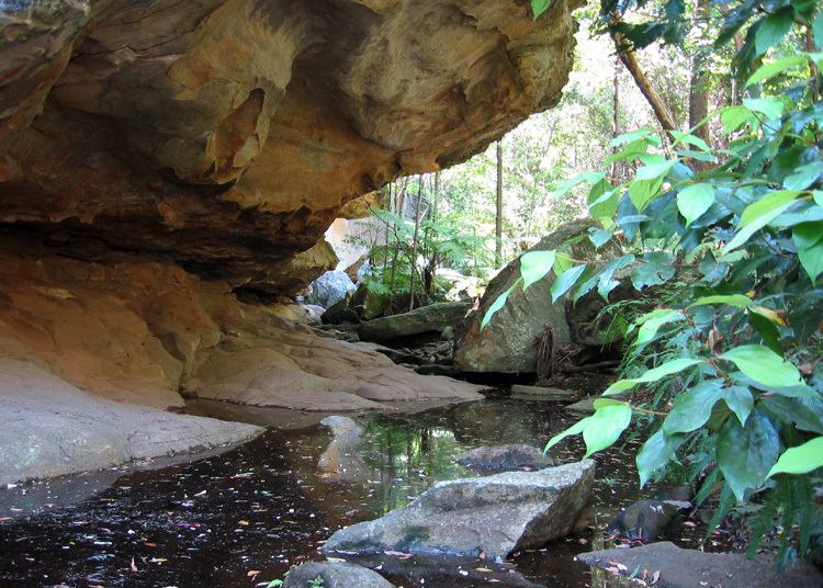
The park's most dominant features are the 70 m sandstone cliffs. Wildlife native to the park include rock wallabys, bettong, platypus, geckos and over 90 bird species.
Aboriginal rock art on the cliff walls is an indication of indigenous settlement of at least 19,000 years.
A picnic area is located alongside the main road into the park, 8 km from the Burnett Highway. Facilities here include covered picnic tables, toilets and gas-powered barbecues. The majority of the park's walking tracks lead from this picnic area, including the 1.1 km trail to Dripping Rock, 1.6 km trail to The Overhang, and the 1.3 km trail to Bloodwood Cave. The longest track in the park leads from a small car park 500 metres south of the picnic area. This 5.6 km circuit takes in Giants Chair Lookout, with views across the gorge; and Fern Tree Pool, a permanent waterhole. Only walkers with moderate levels of fitness should attempt this track. Another walk leads visitors to a former mine site.