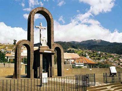
- elevation 985 m (3,232 ft) | - elevation 0 m (0 ft) Area 16.66 km² | |
 | ||
- location Lombo da Piedade, Sítio das Murteiras | ||
Canhas is a civil parish in the municipality of Ponta do Sol in the Portuguese archipelago of Madeira. Extending into the interior from the coast, the parish has an area of 16.66 km². It has a population of 3,769 (2011).
Contents
Map of Canhas, Portugal
Economy
A once essentially agricultural parish, Canhas has gradually been converted into an important economic centre, while retaining its rural feel. Even though agriculture is still a prime industry, civil construction and related industries have conquered a prominent position in the parish.
References
Canhas Wikipedia(Text) CC BY-SA
