
Country France Time zone CET (UTC+1) Population 12,908 (2010) | Region Occitanie Canton Canet-en-Roussillon Area 22.39 km² Local time Wednesday 6:20 AM | |
 | ||
Weather 14°C, Wind NW at 26 km/h, 73% Humidity Points of interest Têt, Casino JOA de Canet, RECRE PARC, Château de Rey, Mas Baux | ||
Canet-en-Roussillon (Catalan: Canet de Rosselló) is a commune in the Pyrénées-Orientales department in southern France.
Contents
- Map of 66140 Canet en Roussillon France
- Localisation
- History
- International relations
- Sites of interest
- Notable people
- References
Map of 66140 Canet-en-Roussillon, France
Localisation
Canet-en-Roussillon is located in the canton of Canet-en-Roussillon and in the arrondissement of Perpignan,9.4 km (5.8 mi) to the east of Perpignan.
History
The city walls are destroyed in the 19th century.
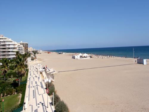
With the development of sea bathing, the first beach settlement for bathers of the coast of Pyrénées-Orientales is created by Louise Lombard in 1849. As soon as 1854 are established municipal laws to rule types of bathing suits and separated zones of sea bathing for men and women.
International relations
Canet-en-Roussillon is twinned with:
Sites of interest
Notable people
References
Canet-en-Roussillon Wikipedia(Text) CC BY-SA