
Time zone UTC -3 Area 151.4 km² Population 10,603 (2010) | Mesoregion Grande Florianópolis Elevation 17 m Local time Wednesday 2:12 AM | |
 | ||
Weather 23°C, Wind E at 3 km/h, 90% Humidity | ||
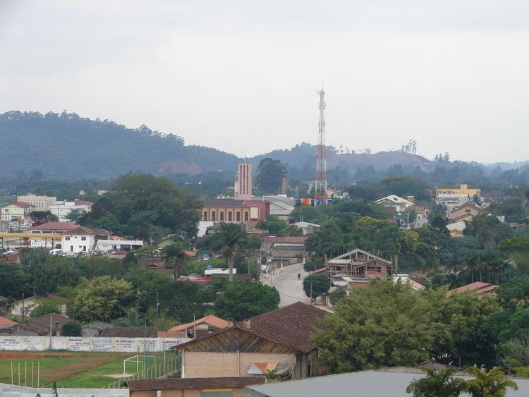
Canelinha is a municipality in the state of Santa Catarina in the South region of Brazil. Canelinha is a small town, located 15.2 kilometres (9.4 mi) west of Tijucas and 9.9 kilometres (6.2 mi) by road east of São João Batista. It has an altitude of 17 metres and its population according to the 2010 census is 10,603 inhabitants. It has land area of 151.409 km ². The municipality was established on 23 December 1962.
Contents
Map of Canelinha - State of Santa Catarina, Brazil
Economy
Canelinha is noted for its ceramics and its large number of potteries, an industry which is very important to the local economy. It also produces clothing, knitwear, shoes, and agricultural products. The locality of Areão in the municipality also contains a motocross track, the Motódromo Arthur Jachovicz, which is a venue for the Campeonatos Catarinense e Brasileiro de motocross.