
Prominence 536 ft (163 m) Parent range Columbia River Plateau Elevation 425 m Easiest route Hiking | Isolation 2.76 mi (4.44 km) Topo map USGS Richland Range Columbia Plateau | |
 | ||
Similar Badger Mountain, Rattlesnake Mountain, Red Mountain, Rattlesnake Ridge | ||
Candy Mountain is a small mountain located just outside West Richland, Washington. Candy Mountain rises above the Tri-Cities located between Badger Mountain to the south and Red Mountain to the north.
Contents
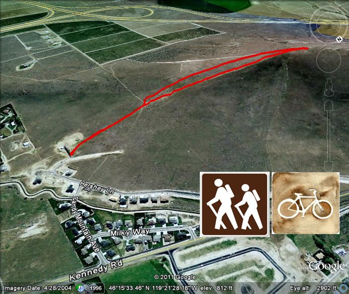
Map of Candy Mountain, Washington 99352, USA
Candy Mountain is connected to Badger Mountain by Goose Gap. There is a primitive road leading to the top, and the remains of an old radio tower. The non-profit organization Friends of Badger Mountain is working on purchasing 200 acres of land surrounding Candy Mountain to build new trails on the mountain and connect it to Badger Mountain.
Trail
There is a trail that hikers can use starting on the east side of the mountain, leading to the top. The 1.4-mile (2.3 km) trail is fairly steep, but one can reach the summit in around 20 minutes. Along the climb, there are several false summits, where it appears you are approaching the peak only to find that such is not the case.