
Founded 1821 Elevation 3,415 m (11,204 ft) | Region Tacna UBIGEO 2302 | |
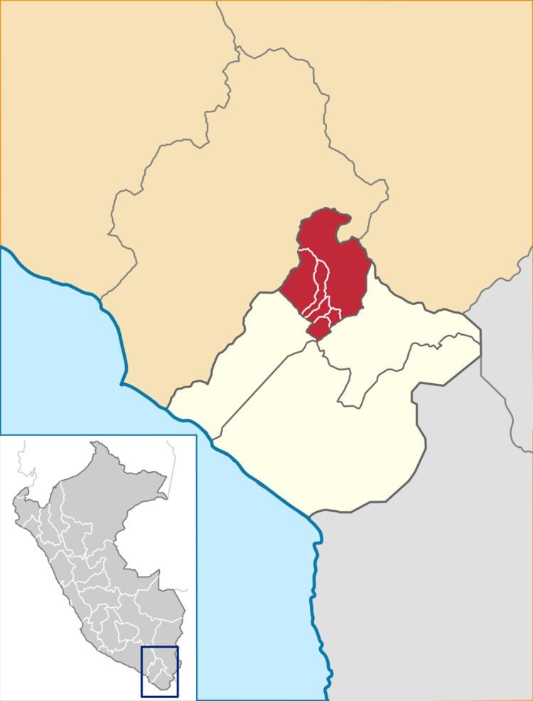 | ||
Candarave Province is the smallest of four provinces in the Tacna Region in southern Peru. Its capital is Candarave.
Contents
Map of Candarave Province, Peru
Boundaries
Geography
Some of the highest peaks of the province are Tutupaka and Yukamani, both are active volcanoes. Other mountains are listed below:
Political division
The province is divided into six districts (Spanish: distritos, singular: distrito), each of which is headed by a mayor (alcalde):
Ethnic groups
The province is inhabited by indigenous citizens of Aymara descent. Spanish, however, is the language which the majority of the population (78.17%) learnt to speak in childhood, 20.94% of the residents started speaking using the Aymara language (2007 Peru Census).
References
Candarave Province Wikipedia(Text) CC BY-SA