
Elevation 2,428 m (7,966 ft) Province Province of Ávila Easiest route Hiking | Prominence 1,151 m (3,776 ft) | |
 | ||
Similar Calvitero, Pico Almanzor, Pico del Lobo, La Mira, Corocho de Rocigalgo | ||
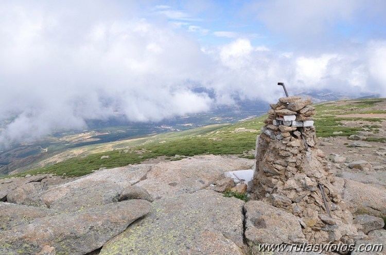
The Canchal de la Ceja is a 2,428 metres high mountain in Spain.
Contents
Map of Canchal de la Ceja, 05621, %C3%81vila, Spain
Etymology
Canchal means scree; the name Ceja (literally eyebrow) comes from the peculiar shape of the snowfield located below the summit on the North face of the mountain .
Geography
The mountain is located on the border between the provinces of Ávila and Salamanca, both belonging to Castile and León autonomous community. It's the highest peak of the mountain range called Sierra de Béjar and of Province of Salamanca.
The lakes located around the mountain are the largest in the Sierra de Gredos area.
Access to the summit
The shortest route to the summit starts from Plataforma del Travieso (1850 m, around 10 km from Candelario) and takes a couple of hours hiking. The North face of the mountain offers some climbing routes.
References
Canchal de la Ceja Wikipedia(Text) CC BY-SA